Distance from Elgin to Chicago
Distance between Elgin and Chicago is 56 kilometers (35 miles).
Driving distance from Elgin to Chicago is 66 kilometers (41 miles).
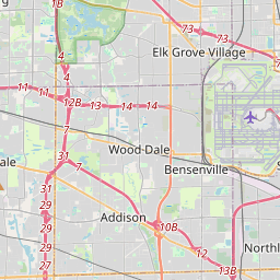
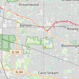
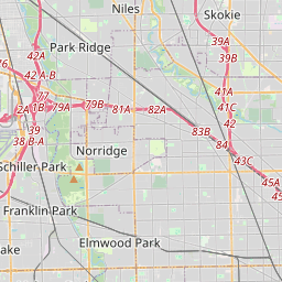
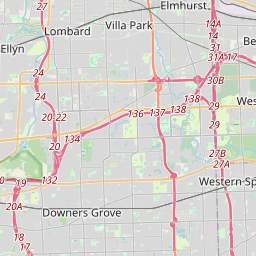
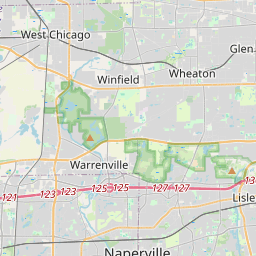
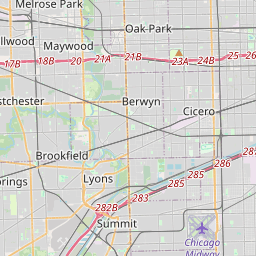
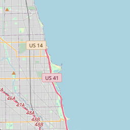
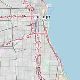
Distance Map Between Elgin and Chicago
Elgin, Springfield, United States ↔ Chicago, Springfield, United States = 35 miles = 56 km.


How far is it between Elgin and Chicago
Elgin is located in United States with (42.0373,-88.2812) coordinates and Chicago is located in United States with (41.85,-87.6501) coordinates. The calculated flying distance from Elgin to Chicago is equal to 35 miles which is equal to 56 km.
If you want to go by car, the driving distance between Elgin and Chicago is 66.31 km. If you ride your car with an average speed of 112 kilometers/hour (70 miles/h), travel time will be 00 hours 35 minutes. Please check the avg. speed travel time table on the right for various options.
Difference between fly and go by a car is 10 km.
| City/Place | Latitude and Longitude | GPS Coordinates |
|---|---|---|
| Elgin | 42.0373, -88.2812 | 42° 2´ 14.1000'' N 88° 16´ 52.2840'' W |
| Chicago | 41.85, -87.6501 | 41° 51´ 0.1080'' N 87° 39´ 0.1800'' W |
Estimated Travel Time Between Elgin and Chicago
| Average Speed | Travel Time |
|---|---|
| 30 mph (48 km/h) | 01 hours 22 minutes |
| 40 mph (64 km/h) | 01 hours 02 minutes |
| 50 mph (80 km/h) | 00 hours 49 minutes |
| 60 mph (97 km/h) | 00 hours 41 minutes |
| 70 mph (112 km/h) | 00 hours 35 minutes |
| 75 mph (120 km/h) | 00 hours 33 minutes |
Related Distances from Elgin
| Cities | Distance |
|---|---|
| Elgin to Chicago | 66 km |
| Elgin to Crystal Lake | 27 km |
| Elgin to Aurora 2 | 35 km |
| Elgin to Cary 2 | 25 km |
| Elgin to Dekalb | 54 km |
Related Distances to Chicago
| Cities | Distance |
|---|---|
| New York City to Chicago | 1269 km |
| Washington D C to Chicago | 1123 km |
| Los Angeles to Chicago | 3245 km |
| Boston to Chicago | 1579 km |
| Normal to Chicago | 209 km |