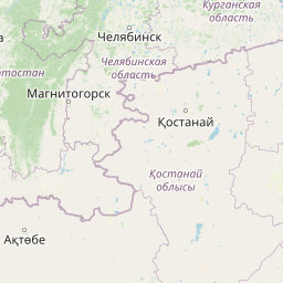
Distance from Embi to Mashhad
Distance between Embi and Mashhad is 1396 kilometers (868 miles).
Distance Map Between Embi and Mashhad
Embi, Aqtobe, Kazakhstan ↔ Mashhad, Iran = 868 miles = 1396 km.


Leaflet | © OpenStreetMap
How far is it between Embi and Mashhad
Embi is located in Kazakhstan with (48.8298,58.1504) coordinates and Mashhad is located in Iran with (36.3156,59.568) coordinates. The calculated flying distance from Embi to Mashhad is equal to 868 miles which is equal to 1396 km.
| City/Place | Latitude and Longitude | GPS Coordinates |
|---|---|---|
| Embi | 48.8298, 58.1504 | 48° 49´ 47.3160'' N 58° 9´ 1.5120'' E |
| Mashhad | 36.3156, 59.568 | 36° 18´ 56.1240'' N 59° 34´ 4.6560'' E |
Embi, Aqtobe, Kazakhstan
Related Distances from Embi
| Cities | Distance |
|---|---|
| Embi to Tabriz | 2448 km |
| Embi to Tehran | 2707 km |
| Embi to Karaj | 2743 km |
Mashhad, Iran
Related Distances to Mashhad
| Cities | Distance |
|---|---|
| Almaty to Mashhad | 2181 km |
| Shymkent to Mashhad | 1456 km |
| Aktau to Mashhad | 1405 km |
| Turkestan to Mashhad | 1558 km |
| Khromtau to Mashhad | 2136 km |