Distance from Erechim to Pelotas
Distance between Erechim and Pelotas is 460 kilometers (286 miles).
Driving distance from Erechim to Pelotas is 577 kilometers (359 miles).
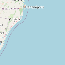
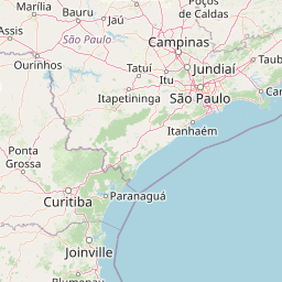
Distance Map Between Erechim and Pelotas
Erechim, Porto Alegre, Brazil ↔ Pelotas, Porto Alegre, Brazil = 286 miles = 460 km.


How far is it between Erechim and Pelotas
Erechim is located in Brazil with (-27.6346,-52.2754) coordinates and Pelotas is located in Brazil with (-31.7719,-52.3425) coordinates. The calculated flying distance from Erechim to Pelotas is equal to 286 miles which is equal to 460 km.
If you want to go by car, the driving distance between Erechim and Pelotas is 577.2 km. If you ride your car with an average speed of 112 kilometers/hour (70 miles/h), travel time will be 05 hours 09 minutes. Please check the avg. speed travel time table on the right for various options.
Difference between fly and go by a car is 117 km.
| City/Place | Latitude and Longitude | GPS Coordinates |
|---|---|---|
| Erechim | -27.6346, -52.2754 | 27° 38´ 4.5960'' S 52° 16´ 31.4400'' W |
| Pelotas | -31.7719, -52.3425 | 31° 46´ 18.9840'' S 52° 20´ 33.0000'' W |
Estimated Travel Time Between Erechim and Pelotas
| Average Speed | Travel Time |
|---|---|
| 30 mph (48 km/h) | 12 hours 01 minutes |
| 40 mph (64 km/h) | 09 hours 01 minutes |
| 50 mph (80 km/h) | 07 hours 12 minutes |
| 60 mph (97 km/h) | 05 hours 57 minutes |
| 70 mph (112 km/h) | 05 hours 09 minutes |
| 75 mph (120 km/h) | 04 hours 48 minutes |
Related Distances from Erechim
| Cities | Distance |
|---|---|
| Erechim to Sarandi 2 | 163 km |
| Erechim to Palmeira Das Missoes | 208 km |
| Erechim to Veranopolis | 214 km |
| Erechim to Estrela | 237 km |
| Erechim to Farroupilha | 277 km |
Related Distances to Pelotas
| Cities | Distance |
|---|---|
| Bage to Pelotas | 188 km |
| Lagoa Vermelha to Pelotas | 509 km |
| Farroupilha to Pelotas | 361 km |
| Cachoeira Do Sul to Pelotas | 290 km |
| Lajeado to Pelotas | 349 km |