Distance from Felling to St Helens
Distance between Felling and St Helens is 183 kilometers (114 miles).
Driving distance from Felling to St Helens is 267 kilometers (166 miles).
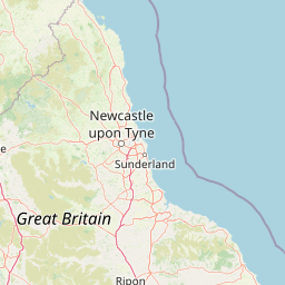
Distance Map Between Felling and St Helens
Felling, London, United Kingdom ↔ St Helens, London, United Kingdom = 114 miles = 183 km.


How far is it between Felling and St Helens
Felling is located in United Kingdom with (54.953,-1.5715) coordinates and St Helens is located in United Kingdom with (53.45,-2.7333) coordinates. The calculated flying distance from Felling to St Helens is equal to 114 miles which is equal to 183 km.
If you want to go by car, the driving distance between Felling and St Helens is 266.76 km. If you ride your car with an average speed of 112 kilometers/hour (70 miles/h), travel time will be 02 hours 22 minutes. Please check the avg. speed travel time table on the right for various options.
Difference between fly and go by a car is 84 km.
| City/Place | Latitude and Longitude | GPS Coordinates |
|---|---|---|
| Felling | 54.953, -1.5715 | 54° 57´ 10.6920'' N 1° 34´ 17.4720'' W |
| St Helens | 53.45, -2.7333 | 53° 27´ 0.0000'' N 2° 43´ 59.9880'' W |
Estimated Travel Time Between Felling and St Helens
| Average Speed | Travel Time |
|---|---|
| 30 mph (48 km/h) | 05 hours 33 minutes |
| 40 mph (64 km/h) | 04 hours 10 minutes |
| 50 mph (80 km/h) | 03 hours 20 minutes |
| 60 mph (97 km/h) | 02 hours 45 minutes |
| 70 mph (112 km/h) | 02 hours 22 minutes |
| 75 mph (120 km/h) | 02 hours 13 minutes |
Related Distances from Felling
| Cities | Distance |
|---|---|
| Felling to Newcastle Upon Tyne | 4 km |
| Felling to City Of London | 460 km |
| Felling to Sunderland | 18 km |
| Felling to Hull | 227 km |
| Felling to Leicester | 296 km |
Related Distances to St Helens
| Cities | Distance |
|---|---|
| Liverpool to St Helens | 23 km |
| Manchester to St Helens | 46 km |
| City Of London to St Helens | 342 km |
| Bolton to St Helens | 49 km |
| Halifax 2 to St Helens | 88 km |