Distance from Fes to Debila
Distance between Fes and Debila is 1105 kilometers (687 miles).
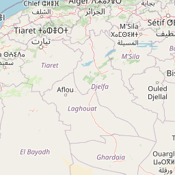
Distance Map Between Fes and Debila
Fes, Morocco ↔ Debila, El Oued, Algeria = 687 miles = 1105 km.


Leaflet | © OpenStreetMap
How far is it between Fès and Debila
Fes is located in Morocco with (34.0372,-4.9998) coordinates and Debila is located in Algeria with (33.5167,6.95) coordinates. The calculated flying distance from Fes to Debila is equal to 687 miles which is equal to 1105 km.
| City/Place | Latitude and Longitude | GPS Coordinates |
|---|---|---|
| Fes | 34.0372, -4.9998 | 34° 2´ 13.7400'' N 4° 59´ 59.2800'' W |
| Debila | 33.5167, 6.95 | 33° 31´ 0.0120'' N 6° 57´ 0.0000'' E |
Fes, Morocco
Related Distances from Fes
| Cities | Distance |
|---|---|
| Fes to Oran | 1073 km |
| Fes to Algiers | 1467 km |
| Fes to El Tarf | 2148 km |
| Fes to Mehdia | 1326 km |
| Fes to Tlemcen | 968 km |
Debila, El Oued, Algeria
Related Distances to Debila
| Cities | Distance |
|---|---|
| Rabat to Debila | 1903 km |
| Sale to Debila | 1900 km |
| Marrakesh to Debila | 2228 km |