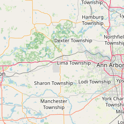
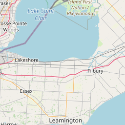
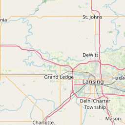
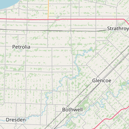
Distance from Flint to Windsor
Distance between Flint and Windsor is 96 kilometers (60 miles).
Driving distance from Flint to Windsor is 115 kilometers (72 miles).
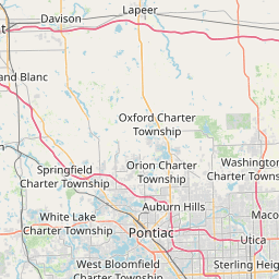
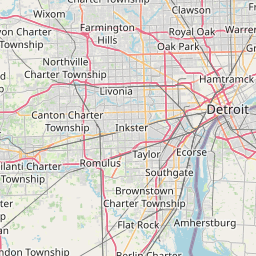
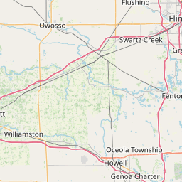
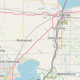
Distance Map Between Flint and Windsor
Flint, Lansing, United States ↔ Windsor, Ontario, Canada = 60 miles = 96 km.


How far is it between Flint and Windsor
Flint is located in United States with (43.0125,-83.6875) coordinates and Windsor is located in Canada with (42.3001,-83.0165) coordinates. The calculated flying distance from Flint to Windsor is equal to 60 miles which is equal to 96 km.
If you want to go by car, the driving distance between Flint and Windsor is 115.34 km. If you ride your car with an average speed of 112 kilometers/hour (70 miles/h), travel time will be 01 hours 01 minutes. Please check the avg. speed travel time table on the right for various options.
Difference between fly and go by a car is 19 km.
| City/Place | Latitude and Longitude | GPS Coordinates |
|---|---|---|
| Flint | 43.0125, -83.6875 | 43° 0´ 45.1080'' N 83° 41´ 14.8560'' W |
| Windsor | 42.3001, -83.0165 | 42° 18´ 0.2880'' N 83° 0´ 59.5440'' W |
Estimated Travel Time Between Flint and Windsor
| Average Speed | Travel Time |
|---|---|
| 30 mph (48 km/h) | 02 hours 24 minutes |
| 40 mph (64 km/h) | 01 hours 48 minutes |
| 50 mph (80 km/h) | 01 hours 26 minutes |
| 60 mph (97 km/h) | 01 hours 11 minutes |
| 70 mph (112 km/h) | 01 hours 01 minutes |
| 75 mph (120 km/h) | 00 hours 57 minutes |
Related Distances from Flint
| Cities | Distance |
|---|---|
| Flint to Toronto | 397 km |
| Flint to London 2 | 225 km |
| Flint to Windsor | 115 km |
| Flint to Montreal | 929 km |
| Flint to Hamilton | 337 km |
Related Distances to Windsor
| Cities | Distance |
|---|---|
| Detroit to Windsor | 6 km |
| Chicago to Windsor | 468 km |
| New York City to Windsor | 994 km |
| Sudbury to Windsor | 1107 km |
| Cleveland to Windsor | 277 km |