Distance from Fords to Clifton
Distance between Fords and Clifton is 39 kilometers (24 miles).
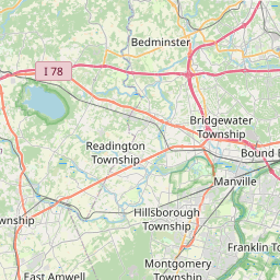
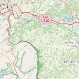
Distance Map Between Fords and Clifton
Fords, Trenton, United States ↔ Clifton, Trenton, United States = 24 miles = 39 km.
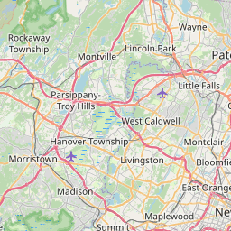

Leaflet | © OpenStreetMap
How far is it between Fords and Clifton
Fords is located in United States with (40.5293,-74.316) coordinates and Clifton is located in United States with (40.8584,-74.1638) coordinates. The calculated flying distance from Fords to Clifton is equal to 24 miles which is equal to 39 km.
| City/Place | Latitude and Longitude | GPS Coordinates |
|---|---|---|
| Fords | 40.5293, -74.316 | 40° 31´ 45.3720'' N 74° 18´ 57.5280'' W |
| Clifton | 40.8584, -74.1638 | 40° 51´ 30.3480'' N 74° 9´ 49.5360'' W |
Fords, Trenton, United States
Related Distances from Fords
| Cities | Distance |
|---|---|
| Fords to Elizabeth | 21 km |
| Fords to East Brunswick | 19 km |
| Fords to Atlantic City | 164 km |
| Fords to Toms River | 79 km |
| Fords to Cherry Hill | 99 km |
Clifton, Trenton, United States
Related Distances to Clifton
| Cities | Distance |
|---|---|
| Jersey City to Clifton | 24 km |
| North Bergen to Clifton | 22 km |
| Hackensack to Clifton | 19 km |
| Grand Junction to Clifton 2 | 9 km |
| Lyndhurst to Clifton | 9 km |