Distance from Fort Lee to Laval
Distance between Fort Lee and Laval is 525 kilometers (326 miles).
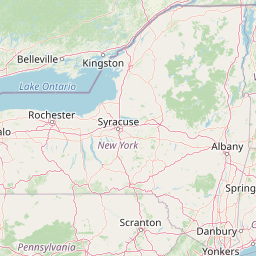
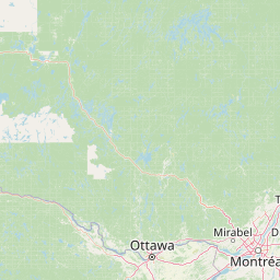
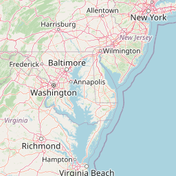
Distance Map Between Fort Lee and Laval
Fort Lee, Trenton, United States ↔ Laval, Quebec, Canada = 326 miles = 525 km.


Leaflet | © OpenStreetMap
How far is it between Fort Lee and Laval
Fort Lee is located in United States with (40.8509,-73.9701) coordinates and Laval is located in Canada with (45.57,-73.692) coordinates. The calculated flying distance from Fort Lee to Laval is equal to 326 miles which is equal to 525 km.
| City/Place | Latitude and Longitude | GPS Coordinates |
|---|---|---|
| Fort Lee | 40.8509, -73.9701 | 40° 51´ 3.3480'' N 73° 58´ 12.5040'' W |
| Laval | 45.57, -73.692 | 45° 34´ 11.8200'' N 73° 41´ 31.2000'' W |
Fort Lee, Trenton, United States
Related Distances from Fort Lee
| Cities | Distance |
|---|---|
| Fort Lee to Montreal | 579 km |
| Fort Lee to Toronto | 802 km |
| Fort Lee to Quebec | 813 km |
| Fort Lee to Richmond Hill | 818 km |
| Fort Lee to Hamilton | 735 km |
Laval, Quebec, Canada
Related Distances to Laval
| Cities | Distance |
|---|---|
| New York City to Laval | 619 km |
| Washington D C to Laval | 964 km |
| Boston to Laval | 515 km |
| Niagara Falls 2 to Laval | 663 km |
| New Brunswick to Laval | 655 km |