Distance from Fort Lee to Millville
Distance between Fort Lee and Millville is 185 kilometers (115 miles).
Distance Map Between Fort Lee and Millville
Fort Lee, Trenton, United States ↔ Millville, Trenton, United States = 115 miles = 185 km.


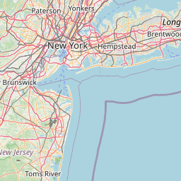
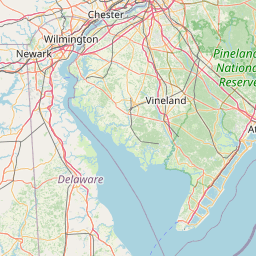
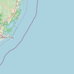
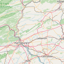
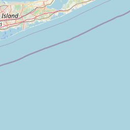
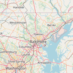


Leaflet | © OpenStreetMap
How far is it between Fort Lee and Millville
Fort Lee is located in United States with (40.8509,-73.9701) coordinates and Millville is located in United States with (39.4021,-75.0393) coordinates. The calculated flying distance from Fort Lee to Millville is equal to 115 miles which is equal to 185 km.
| City/Place | Latitude and Longitude | GPS Coordinates |
|---|---|---|
| Fort Lee | 40.8509, -73.9701 | 40° 51´ 3.3480'' N 73° 58´ 12.5040'' W |
| Millville | 39.4021, -75.0393 | 39° 24´ 7.4160'' N 75° 2´ 21.6240'' W |
Fort Lee, Trenton, United States
Related Distances from Fort Lee
| Cities | Distance |
|---|---|
| Fort Lee to Fair Lawn | 20 km |
| Fort Lee to Jackson 3 | 160 km |
| Fort Lee to Clifton | 26 km |
| Fort Lee to Bloomfield | 34 km |
| Fort Lee to East Brunswick | 72 km |
Millville, Trenton, United States
Related Distances to Millville
| Cities | Distance |
|---|---|
| North Bergen to Millville | 206 km |
| Sicklerville to Millville | 41 km |
| Pleasantville to Millville | 51 km |
| Bayonne to Millville | 198 km |
| Newark to Millville | 191 km |