Distance from Fort Thomas to Paducah
Distance between Fort Thomas and Paducah is 426 kilometers (264 miles).
Driving distance from Fort Thomas to Paducah is 511 kilometers (318 miles).
Distance Map Between Fort Thomas and Paducah
Fort Thomas, Frankfort, United States ↔ Paducah, Frankfort, United States = 264 miles = 426 km.
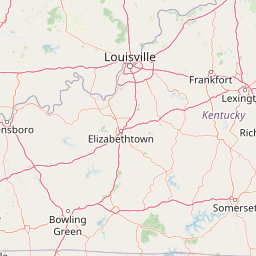

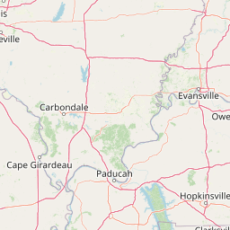


How far is it between Fort Thomas and Paducah
Fort Thomas is located in United States with (39.0751,-84.4472) coordinates and Paducah is located in United States with (37.0834,-88.6001) coordinates. The calculated flying distance from Fort Thomas to Paducah is equal to 264 miles which is equal to 426 km.
If you want to go by car, the driving distance between Fort Thomas and Paducah is 511.01 km. If you ride your car with an average speed of 112 kilometers/hour (70 miles/h), travel time will be 04 hours 33 minutes. Please check the avg. speed travel time table on the right for various options.
Difference between fly and go by a car is 85 km.
| City/Place | Latitude and Longitude | GPS Coordinates |
|---|---|---|
| Fort Thomas | 39.0751, -84.4472 | 39° 4´ 30.2160'' N 84° 26´ 49.7760'' W |
| Paducah | 37.0834, -88.6001 | 37° 5´ 0.2040'' N 88° 36´ 0.1800'' W |
Estimated Travel Time Between Fort Thomas and Paducah
| Average Speed | Travel Time |
|---|---|
| 30 mph (48 km/h) | 10 hours 38 minutes |
| 40 mph (64 km/h) | 07 hours 59 minutes |
| 50 mph (80 km/h) | 06 hours 23 minutes |
| 60 mph (97 km/h) | 05 hours 16 minutes |
| 70 mph (112 km/h) | 04 hours 33 minutes |
| 75 mph (120 km/h) | 04 hours 15 minutes |
Related Distances from Fort Thomas
| Cities | Distance |
|---|---|
| Fort Thomas to Florence 4 | 28 km |
| Fort Thomas to Erlanger | 23 km |
| Fort Thomas to Fern Creek | 179 km |
| Fort Thomas to Paducah | 511 km |
| Fort Thomas to Elizabethtown | 235 km |
Related Distances to Paducah
| Cities | Distance |
|---|---|
| Murray 2 to Paducah | 76 km |
| Bowling Green to Paducah | 240 km |
| Elizabethtown to Paducah | 276 km |
| Louisville to Paducah | 347 km |
| Lexington to Paducah | 416 km |