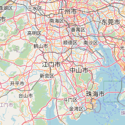
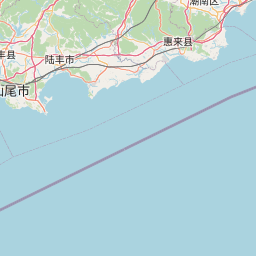
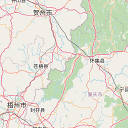
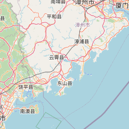
Distance from Foshan to Shantou
Distance between Foshan and Shantou is 368 kilometers (229 miles).
Driving distance from Foshan to Shantou is 463 kilometers (288 miles).
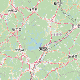
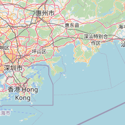
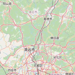
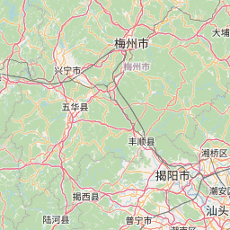
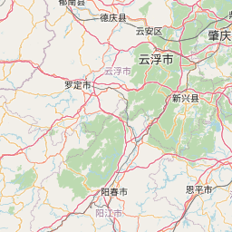
Distance Map Between Foshan and Shantou
Foshan, Guangzhou, China ↔ Shantou, Guangzhou, China = 229 miles = 368 km.


How far is it between Foshan and Shantou
Foshan is located in China with (23.0268,113.1315) coordinates and Shantou is located in China with (23.3681,116.7148) coordinates. The calculated flying distance from Foshan to Shantou is equal to 229 miles which is equal to 368 km.
If you want to go by car, the driving distance between Foshan and Shantou is 462.88 km. If you ride your car with an average speed of 112 kilometers/hour (70 miles/h), travel time will be 04 hours 07 minutes. Please check the avg. speed travel time table on the right for various options.
Difference between fly and go by a car is 95 km.
| City/Place | Latitude and Longitude | GPS Coordinates |
|---|---|---|
| Foshan | 23.0268, 113.1315 | 23° 1´ 36.3720'' N 113° 7´ 53.3280'' E |
| Shantou | 23.3681, 116.7148 | 23° 22´ 5.3040'' N 116° 42´ 53.2440'' E |
Estimated Travel Time Between Foshan and Shantou
| Average Speed | Travel Time |
|---|---|
| 30 mph (48 km/h) | 09 hours 38 minutes |
| 40 mph (64 km/h) | 07 hours 13 minutes |
| 50 mph (80 km/h) | 05 hours 47 minutes |
| 60 mph (97 km/h) | 04 hours 46 minutes |
| 70 mph (112 km/h) | 04 hours 07 minutes |
| 75 mph (120 km/h) | 03 hours 51 minutes |
Related Distances from Foshan
| Cities | Distance |
|---|---|
| Foshan to Guangzhou | 22 km |
| Foshan to Shenzhen | 146 km |
| Foshan to Jiangmen | 76 km |
| Foshan to Zhuhai | 119 km |
| Foshan to Yunfu | 141 km |
Related Distances to Shantou
| Cities | Distance |
|---|---|
| Chaozhou to Shantou | 49 km |
| Jieyang to Shantou | 49 km |
| Dongguan to Shantou | 383 km |
| Meizhou to Shantou | 158 km |
| Foshan to Shantou | 463 km |