Distance from Fountainebleau to Davie
Distance between Fountainebleau and Davie is 34 kilometers (21 miles).
Distance Map Between Fountainebleau and Davie
Fountainebleau, Tallahassee, United States ↔ Davie, Tallahassee, United States = 21 miles = 34 km.

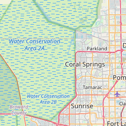


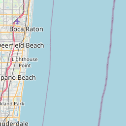


Leaflet | © OpenStreetMap
How far is it between Fountainebleau and Davie
Fountainebleau is located in United States with (25.7729,-80.3478) coordinates and Davie is located in United States with (26.0629,-80.2331) coordinates. The calculated flying distance from Fountainebleau to Davie is equal to 21 miles which is equal to 34 km.
| City/Place | Latitude and Longitude | GPS Coordinates |
|---|---|---|
| Fountainebleau | 25.7729, -80.3478 | 25° 46´ 22.3680'' N 80° 20´ 52.1880'' W |
| Davie | 26.0629, -80.2331 | 26° 3´ 46.3320'' N 80° 13´ 59.1600'' W |
Fountainebleau, Tallahassee, United States
Related Distances from Fountainebleau
| Cities | Distance |
|---|---|
| Fountainebleau to Doral | 7 km |
| Fountainebleau to Daytona Beach | 433 km |
| Fountainebleau to Coral Gables | 15 km |
| Fountainebleau to East Pensacola Heights | 1092 km |
| Fountainebleau to Boynton Beach | 105 km |
Davie, Tallahassee, United States
Related Distances to Davie
| Cities | Distance |
|---|---|
| Miami to Davie | 37 km |
| Deerfield Beach to Davie | 39 km |
| Miami Beach to Davie | 42 km |
| Sunrise to Davie | 22 km |
| Fort Lauderdale to Davie | 16 km |