Distance from Frankenthal to Landau in der Pfalz
Distance between Frankenthal and Landau in der Pfalz is 41 kilometers (26 miles).
Driving distance from Frankenthal to Landau in der Pfalz is 48 kilometers (30 miles).
Distance Map Between Frankenthal and Landau in der Pfalz
Frankenthal, Mainz, Germany ↔ Landau in der Pfalz, Mainz, Germany = 26 miles = 41 km.


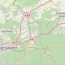

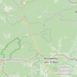

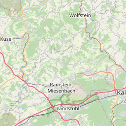

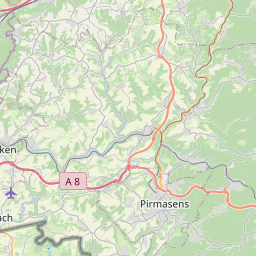


How far is it between Frankenthal and Landau in der Pfalz
Frankenthal is located in Germany with (49.5341,8.3536) coordinates and Landau in der Pfalz is located in Germany with (49.1984,8.1169) coordinates. The calculated flying distance from Frankenthal to Landau in der Pfalz is equal to 26 miles which is equal to 41 km.
If you want to go by car, the driving distance between Frankenthal and Landau in der Pfalz is 47.97 km. If you ride your car with an average speed of 112 kilometers/hour (70 miles/h), travel time will be 00 hours 25 minutes. Please check the avg. speed travel time table on the right for various options.
Difference between fly and go by a car is 7 km.
| City/Place | Latitude and Longitude | GPS Coordinates |
|---|---|---|
| Frankenthal | 49.5341, 8.3536 | 49° 32´ 2.9040'' N 8° 21´ 12.8520'' E |
| Landau in der Pfalz | 49.1984, 8.1169 | 49° 11´ 54.3840'' N 8° 7´ 0.9120'' E |
Estimated Travel Time Between Frankenthal and Landau in der Pfalz
| Average Speed | Travel Time |
|---|---|
| 30 mph (48 km/h) | 00 hours 59 minutes |
| 40 mph (64 km/h) | 00 hours 44 minutes |
| 50 mph (80 km/h) | 00 hours 35 minutes |
| 60 mph (97 km/h) | 00 hours 29 minutes |
| 70 mph (112 km/h) | 00 hours 25 minutes |
| 75 mph (120 km/h) | 00 hours 23 minutes |
Related Distances from Frankenthal
| Cities | Distance |
|---|---|
| Frankenthal to Worms | 17 km |
| Frankenthal to Ludwigshafen Am Rhein | 13 km |
| Frankenthal to Kaiserslautern | 52 km |
| Frankenthal to Koblenz | 133 km |
| Frankenthal to Landau In Der Pfalz | 48 km |