Distance from Freetown to Tegina
Distance between Freetown and Tegina is 2138 kilometers (1329 miles).
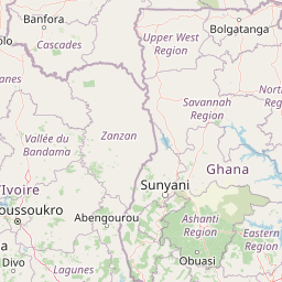
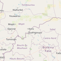
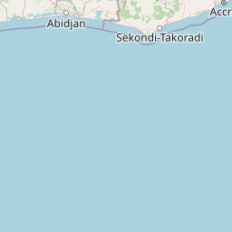
Distance Map Between Freetown and Tegina
Freetown, Sierra Leone ↔ Tegina, Minna, Nigeria = 1329 miles = 2138 km.


Leaflet | © OpenStreetMap
How far is it between Freetown and Tegina
Freetown is located in Sierra Leone with (8.484,-13.2299) coordinates and Tegina is located in Nigeria with (10.0706,6.1906) coordinates. The calculated flying distance from Freetown to Tegina is equal to 1329 miles which is equal to 2138 km.
| City/Place | Latitude and Longitude | GPS Coordinates |
|---|---|---|
| Freetown | 8.484, -13.2299 | 8° 29´ 2.4000'' N 13° 13´ 47.7840'' W |
| Tegina | 10.0706, 6.1906 | 10° 4´ 14.1600'' N 6° 11´ 26.1600'' E |
Freetown, Sierra Leone
Related Distances from Freetown
| Cities | Distance |
|---|---|
| Freetown to Lagos | 2437 km |
| Freetown to Benin City | 2750 km |
| Freetown to Ondo | 2675 km |
| Freetown to Auchi | 2932 km |
| Freetown to Ijebu Igbo | 2558 km |
Tegina, Minna, Nigeria
Related Distances to Tegina
| Cities | Distance |
|---|---|
| Kontagora to Tegina | 98 km |
| Bida to Tegina | 126 km |
| Mokwa to Tegina | 167 km |
| Babana to Tegina | 320 km |
| Suleja to Tegina | 199 km |