Distance from Fresno to Courtenay
Distance between Fresno and Courtenay is 1499 kilometers (931 miles).
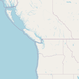
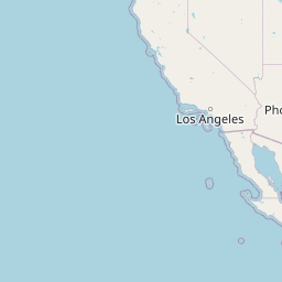
Distance Map Between Fresno and Courtenay
Fresno, Sacramento, United States ↔ Courtenay, Victoria, Canada = 931 miles = 1499 km.


Leaflet | © OpenStreetMap
How far is it between Fresno and Courtenay
Fresno is located in United States with (36.7477,-119.7724) coordinates and Courtenay is located in Canada with (49.6866,-124.9936) coordinates. The calculated flying distance from Fresno to Courtenay is equal to 931 miles which is equal to 1499 km.
| City/Place | Latitude and Longitude | GPS Coordinates |
|---|---|---|
| Fresno | 36.7477, -119.7724 | 36° 44´ 51.8280'' N 119° 46´ 20.5320'' W |
| Courtenay | 49.6866, -124.9936 | 49° 41´ 11.6520'' N 124° 59´ 36.9600'' W |
Fresno, Sacramento, United States
Related Distances from Fresno
| Cities | Distance |
|---|---|
| Fresno to Vancouver | 1709 km |
| Fresno to Surrey | 1677 km |
| Fresno to Calgary | 2546 km |
| Fresno to Delta | 1689 km |
| Fresno to Victoria | 1617 km |
Courtenay, Victoria, Canada
Related Distances to Courtenay
| Cities | Distance |
|---|---|
| Seattle to Courtenay | 411 km |
| Portland to Courtenay | 630 km |
| Salt Lake City to Courtenay | 1751 km |
| Las Vegas to Courtenay | 2209 km |
| Spokane to Courtenay | 849 km |