Distance from Gadsden to Birmingham
Distance between Gadsden and Birmingham is 92 kilometers (57 miles).
Driving distance from Gadsden to Birmingham is 101 kilometers (63 miles).
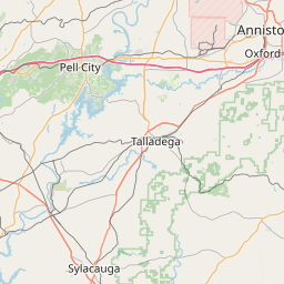
Distance Map Between Gadsden and Birmingham
Gadsden, Montgomery, United States ↔ Birmingham, Montgomery, United States = 57 miles = 92 km.


How far is it between Gadsden and Birmingham
Gadsden is located in United States with (34.0143,-86.0066) coordinates and Birmingham is located in United States with (33.5207,-86.8025) coordinates. The calculated flying distance from Gadsden to Birmingham is equal to 57 miles which is equal to 92 km.
If you want to go by car, the driving distance between Gadsden and Birmingham is 101.38 km. If you ride your car with an average speed of 112 kilometers/hour (70 miles/h), travel time will be 00 hours 54 minutes. Please check the avg. speed travel time table on the right for various options.
Difference between fly and go by a car is 9 km.
| City/Place | Latitude and Longitude | GPS Coordinates |
|---|---|---|
| Gadsden | 34.0143, -86.0066 | 34° 0´ 51.3360'' N 86° 0´ 23.9040'' W |
| Birmingham | 33.5207, -86.8025 | 33° 31´ 14.3760'' N 86° 48´ 8.9640'' W |
Estimated Travel Time Between Gadsden and Birmingham
| Average Speed | Travel Time |
|---|---|
| 30 mph (48 km/h) | 02 hours 06 minutes |
| 40 mph (64 km/h) | 01 hours 35 minutes |
| 50 mph (80 km/h) | 01 hours 16 minutes |
| 60 mph (97 km/h) | 01 hours 02 minutes |
| 70 mph (112 km/h) | 00 hours 54 minutes |
| 75 mph (120 km/h) | 00 hours 50 minutes |
Related Distances from Gadsden
| Cities | Distance |
|---|---|
| Gadsden to Birmingham 2 | 101 km |
| Gadsden to Decatur 2 | 124 km |
| Gadsden to Fairhope | 511 km |
| Gadsden to Dothan | 412 km |
| Gadsden to Center Point | 84 km |
Related Distances to Birmingham
| Cities | Distance |
|---|---|
| Mobile to Birmingham 2 | 415 km |
| Tuscaloosa to Birmingham 2 | 94 km |
| Selma 2 to Birmingham 2 | 142 km |
| Alabaster to Birmingham 2 | 40 km |
| Montgomery to Birmingham 2 | 149 km |