Distance from Gafsa to Sousse
Distance between Gafsa and Sousse is 229 kilometers (143 miles).
Driving distance from Gafsa to Sousse is 261 kilometers (162 miles).
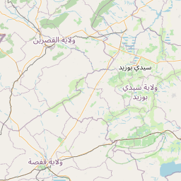
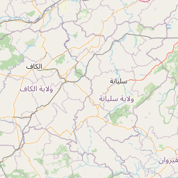
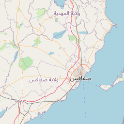
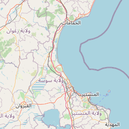
Distance Map Between Gafsa and Sousse
Gafsa, Tunisia ↔ Sousse, Tunisia = 143 miles = 229 km.


How far is it between Gafsa and Sousse
Gafsa is located in Tunisia with (34.425,8.7842) coordinates and Sousse is located in Tunisia with (35.8254,10.637) coordinates. The calculated flying distance from Gafsa to Sousse is equal to 143 miles which is equal to 229 km.
If you want to go by car, the driving distance between Gafsa and Sousse is 261.41 km. If you ride your car with an average speed of 112 kilometers/hour (70 miles/h), travel time will be 02 hours 20 minutes. Please check the avg. speed travel time table on the right for various options.
Difference between fly and go by a car is 32 km.
| City/Place | Latitude and Longitude | GPS Coordinates |
|---|---|---|
| Gafsa | 34.425, 8.7842 | 34° 25´ 30.0000'' N 8° 47´ 3.0120'' E |
| Sousse | 35.8254, 10.637 | 35° 49´ 31.4040'' N 10° 38´ 13.1640'' E |
Estimated Travel Time Between Gafsa and Sousse
| Average Speed | Travel Time |
|---|---|
| 30 mph (48 km/h) | 05 hours 26 minutes |
| 40 mph (64 km/h) | 04 hours 05 minutes |
| 50 mph (80 km/h) | 03 hours 16 minutes |
| 60 mph (97 km/h) | 02 hours 41 minutes |
| 70 mph (112 km/h) | 02 hours 20 minutes |
| 75 mph (120 km/h) | 02 hours 10 minutes |
Related Distances from Gafsa
| Cities | Distance |
|---|---|
| Gafsa to Tunis | 345 km |
| Gafsa to Sidi Bouzid | 103 km |
| Gafsa to Kebili | 110 km |
| Gafsa to Tataouine | 279 km |
| Gafsa to Sousse | 261 km |
Related Distances to Sousse
| Cities | Distance |
|---|---|
| Tunis to Sousse | 150 km |
| Monastir to Sousse | 23 km |
| Mahdia to Sousse | 64 km |
| Sfax to Sousse | 133 km |
| Nabeul to Sousse | 109 km |