Distance from Gampengrejo to Kencong
Distance between Gampengrejo and Kencong is 159 kilometers (99 miles).
Driving distance from Gampengrejo to Kencong is 237 kilometers (147 miles).
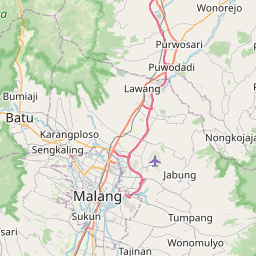
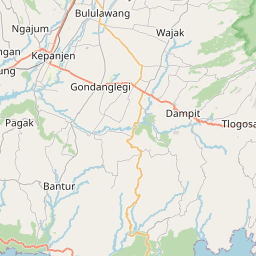
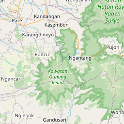
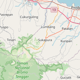
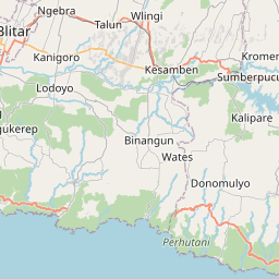
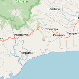
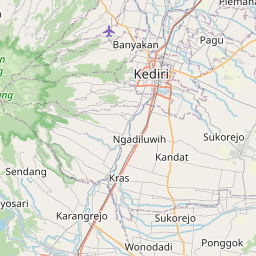
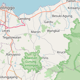
Distance Map Between Gampengrejo and Kencong
Gampengrejo, Surabaya, Indonesia ↔ Kencong, Surabaya, Indonesia = 99 miles = 159 km.

How far is it between Gampengrejo and Kencong
Gampengrejo is located in Indonesia with (-7.7667,112.0167) coordinates and Kencong is located in Indonesia with (-8.2833,113.3667) coordinates. The calculated flying distance from Gampengrejo to Kencong is equal to 99 miles which is equal to 159 km.
If you want to go by car, the driving distance between Gampengrejo and Kencong is 237.01 km. If you ride your car with an average speed of 112 kilometers/hour (70 miles/h), travel time will be 02 hours 06 minutes. Please check the avg. speed travel time table on the right for various options.
Difference between fly and go by a car is 78 km.
| City/Place | Latitude and Longitude | GPS Coordinates |
|---|---|---|
| Gampengrejo | -7.7667, 112.0167 | 7° 46´ 0.0120'' S 112° 1´ 0.0120'' E |
| Kencong | -8.2833, 113.3667 | 8° 16´ 59.9880'' S 113° 22´ 0.0120'' E |
Estimated Travel Time Between Gampengrejo and Kencong
| Average Speed | Travel Time |
|---|---|
| 30 mph (48 km/h) | 04 hours 56 minutes |
| 40 mph (64 km/h) | 03 hours 42 minutes |
| 50 mph (80 km/h) | 02 hours 57 minutes |
| 60 mph (97 km/h) | 02 hours 26 minutes |
| 70 mph (112 km/h) | 02 hours 06 minutes |
| 75 mph (120 km/h) | 01 hours 58 minutes |
Related Distances from Gampengrejo
| Cities | Distance |
|---|---|
| Gampengrejo to Sidoarjo | 111 km |
| Gampengrejo to Probolinggo | 167 km |
| Gampengrejo to Kertosono | 27 km |
| Gampengrejo to Madiun | 78 km |
| Gampengrejo to Kencong | 237 km |
Related Distances to Kencong
| Cities | Distance |
|---|---|
| Balung to Kencong | 130 km |
| Bondowoso to Kencong | 84 km |
| Jombang to Kencong | 197 km |
| Gedangan to Kencong | 153 km |
| Banyuwangi to Kencong | 150 km |