Distance from Gampengrejo to Ngunut
Distance between Gampengrejo and Ngunut is 38 kilometers (23 miles).
Distance Map Between Gampengrejo and Ngunut
Gampengrejo, Surabaya, Indonesia ↔ Ngunut, Surabaya, Indonesia = 23 miles = 38 km.
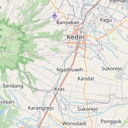
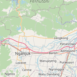
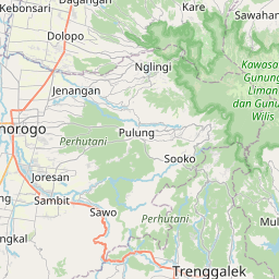
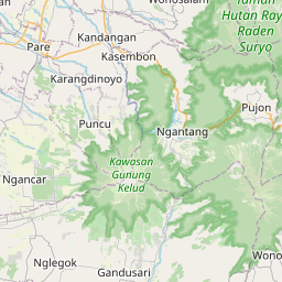
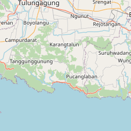
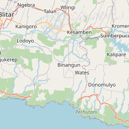
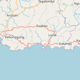

Leaflet | © OpenStreetMap
How far is it between Gampengrejo and Ngunut
Gampengrejo is located in Indonesia with (-7.7667,112.0167) coordinates and Ngunut is located in Indonesia with (-8.1058,112.0159) coordinates. The calculated flying distance from Gampengrejo to Ngunut is equal to 23 miles which is equal to 38 km.
| City/Place | Latitude and Longitude | GPS Coordinates |
|---|---|---|
| Gampengrejo | -7.7667, 112.0167 | 7° 46´ 0.0120'' S 112° 1´ 0.0120'' E |
| Ngunut | -8.1058, 112.0159 | 8° 6´ 20.8800'' S 112° 0´ 57.2760'' E |
Gampengrejo, Surabaya, Indonesia
Related Distances from Gampengrejo
| Cities | Distance |
|---|---|
| Gampengrejo to Sidoarjo | 111 km |
| Gampengrejo to Probolinggo | 167 km |
| Gampengrejo to Kertosono | 27 km |
| Gampengrejo to Madiun | 78 km |
| Gampengrejo to Kencong | 237 km |
Ngunut, Surabaya, Indonesia
Related Distances to Ngunut
| Cities | Distance |
|---|---|
| Blitar to Ngunut | 22 km |
| Kencong to Ngunut | 197 km |
| Malang to Ngunut | 93 km |
| Kediri to Ngunut | 44 km |
| Kamal to Ngunut | 201 km |