Distance from Garanhuns to Limoeiro
Distance between Garanhuns and Limoeiro is 161 kilometers (100 miles).
Driving distance from Garanhuns to Limoeiro is 188 kilometers (117 miles).
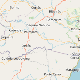
Distance Map Between Garanhuns and Limoeiro
Garanhuns, Recife, Brazil ↔ Limoeiro, Recife, Brazil = 100 miles = 161 km.

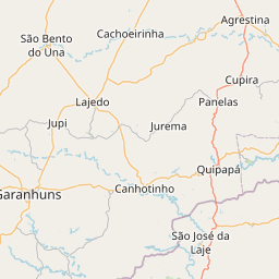


How far is it between Garanhuns and Limoeiro
Garanhuns is located in Brazil with (-8.882,-36.5022) coordinates and Limoeiro is located in Brazil with (-7.8747,-35.4503) coordinates. The calculated flying distance from Garanhuns to Limoeiro is equal to 100 miles which is equal to 161 km.
If you want to go by car, the driving distance between Garanhuns and Limoeiro is 187.79 km. If you ride your car with an average speed of 112 kilometers/hour (70 miles/h), travel time will be 01 hours 40 minutes. Please check the avg. speed travel time table on the right for various options.
Difference between fly and go by a car is 27 km.
| City/Place | Latitude and Longitude | GPS Coordinates |
|---|---|---|
| Garanhuns | -8.882, -36.5022 | 8° 52´ 55.2720'' S 36° 30´ 7.7760'' W |
| Limoeiro | -7.8747, -35.4503 | 7° 52´ 28.9920'' S 35° 27´ 1.0080'' W |
Estimated Travel Time Between Garanhuns and Limoeiro
| Average Speed | Travel Time |
|---|---|
| 30 mph (48 km/h) | 03 hours 54 minutes |
| 40 mph (64 km/h) | 02 hours 56 minutes |
| 50 mph (80 km/h) | 02 hours 20 minutes |
| 60 mph (97 km/h) | 01 hours 56 minutes |
| 70 mph (112 km/h) | 01 hours 40 minutes |
| 75 mph (120 km/h) | 01 hours 33 minutes |
Related Distances from Garanhuns
| Cities | Distance |
|---|---|
| Garanhuns to Sertania | 146 km |
| Garanhuns to Tamandare | 188 km |
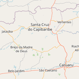
| Garanhuns to Santa Cruz Do Capibaribe | 156 km |
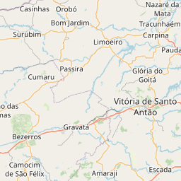
| Garanhuns to Vitoria De Santo Antao | 184 km |
| Garanhuns to Sao Lourenco Da Mata | 231 km |
Related Distances to Limoeiro
| Cities | Distance |
|---|---|
| Granja to Limoeiro Do Norte | 476 km |
| Carpina to Limoeiro | 24 km |
| Ico to Limoeiro Do Norte | 193 km |
| Caninde to Limoeiro Do Norte | 215 km |
| Guaraciaba Do Norte to Limoeiro Do Norte | 404 km |