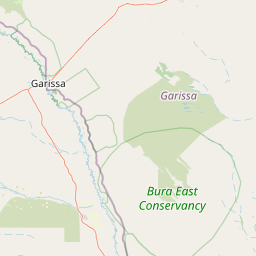
Distance from Garissa to Kericho
Distance between Garissa and Kericho is 485 kilometers (301 miles).
Driving distance from Garissa to Kericho is 591 kilometers (367 miles).
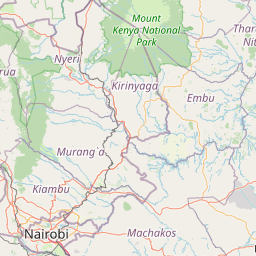
Distance Map Between Garissa and Kericho
Garissa, Kenya ↔ Kericho, Kenya = 301 miles = 485 km.


How far is it between Garissa and Kericho
Garissa is located in Kenya with (-0.4528,39.646) coordinates and Kericho is located in Kenya with (-0.3677,35.2831) coordinates. The calculated flying distance from Garissa to Kericho is equal to 301 miles which is equal to 485 km.
If you want to go by car, the driving distance between Garissa and Kericho is 591.18 km. If you ride your car with an average speed of 112 kilometers/hour (70 miles/h), travel time will be 05 hours 16 minutes. Please check the avg. speed travel time table on the right for various options.
Difference between fly and go by a car is 106 km.
| City/Place | Latitude and Longitude | GPS Coordinates |
|---|---|---|
| Garissa | -0.4528, 39.646 | 0° 27´ 9.9000'' S 39° 38´ 45.6360'' E |
| Kericho | -0.3677, 35.2831 | 0° 22´ 3.8640'' S 35° 16´ 59.3040'' E |
Estimated Travel Time Between Garissa and Kericho
| Average Speed | Travel Time |
|---|---|
| 30 mph (48 km/h) | 12 hours 18 minutes |
| 40 mph (64 km/h) | 09 hours 14 minutes |
| 50 mph (80 km/h) | 07 hours 23 minutes |
| 60 mph (97 km/h) | 06 hours 05 minutes |
| 70 mph (112 km/h) | 05 hours 16 minutes |
| 75 mph (120 km/h) | 04 hours 55 minutes |
Related Distances from Garissa
| Cities | Distance |
|---|---|
| Garissa to Nairobi | 366 km |
| Garissa to Wajir | 322 km |
| Garissa to Mandera | 713 km |
| Garissa to Mombasa | 465 km |
| Garissa to Isiolo | 349 km |
Related Distances to Kericho
| Cities | Distance |
|---|---|
| Nairobi to Kericho | 262 km |
| Eldoret to Kericho | 160 km |
| Kakamega to Kericho | 137 km |
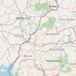
| Busia to Kericho | 207 km |
| Bungoma to Kericho | 185 km |