Distance from Gebog to Gombong
Distance between Gebog and Gombong is 176 kilometers (109 miles).
Driving distance from Gebog to Gombong is 246 kilometers (153 miles).
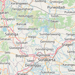
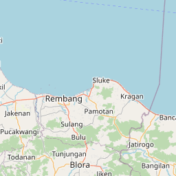
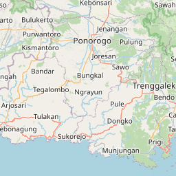
Distance Map Between Gebog and Gombong
Gebog, Semarang, Indonesia ↔ Gombong, Semarang, Indonesia = 109 miles = 176 km.


How far is it between Gebog and Gombong
Gebog is located in Indonesia with (-6.735,110.8444) coordinates and Gombong is located in Indonesia with (-7.6072,109.5142) coordinates. The calculated flying distance from Gebog to Gombong is equal to 109 miles which is equal to 176 km.
If you want to go by car, the driving distance between Gebog and Gombong is 246.42 km. If you ride your car with an average speed of 112 kilometers/hour (70 miles/h), travel time will be 02 hours 12 minutes. Please check the avg. speed travel time table on the right for various options.
Difference between fly and go by a car is 70 km.
| City/Place | Latitude and Longitude | GPS Coordinates |
|---|---|---|
| Gebog | -6.735, 110.8444 | 6° 44´ 6.0000'' S 110° 50´ 39.8400'' E |
| Gombong | -7.6072, 109.5142 | 7° 36´ 25.9920'' S 109° 30´ 51.0120'' E |
Estimated Travel Time Between Gebog and Gombong
| Average Speed | Travel Time |
|---|---|
| 30 mph (48 km/h) | 05 hours 08 minutes |
| 40 mph (64 km/h) | 03 hours 51 minutes |
| 50 mph (80 km/h) | 03 hours 04 minutes |
| 60 mph (97 km/h) | 02 hours 32 minutes |
| 70 mph (112 km/h) | 02 hours 12 minutes |
| 75 mph (120 km/h) | 02 hours 03 minutes |
Related Distances from Gebog
| Cities | Distance |
|---|---|
| Gebog to Grogol | 121 km |
| Gebog to Wonopringgo | 183 km |
| Gebog to Weleri | 119 km |
| Gebog to Welahan | 20 km |
| Gebog to Pemalang | 207 km |
Related Distances to Gombong
| Cities | Distance |
|---|---|
| Baturaden to Gombong | 64 km |
| Boyolali to Gombong | 153 km |
| Ambarawa to Gombong | 142 km |
| Banyumas to Gombong | 35 km |
| Kartasura to Gombong | 178 km |