Distance from Gelligaer to Maesteg
Distance between Gelligaer and Maesteg is 28 kilometers (18 miles).
Driving distance from Gelligaer to Maesteg is 62 kilometers (39 miles).
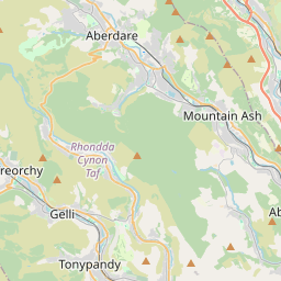
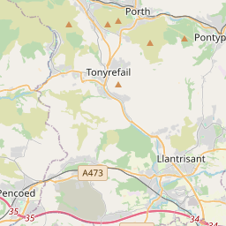
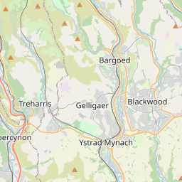
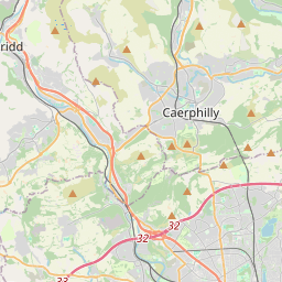
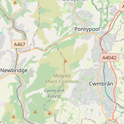
Distance Map Between Gelligaer and Maesteg
Gelligaer, Cardiff, United Kingdom ↔ Maesteg, Cardiff, United Kingdom = 18 miles = 28 km.


How far is it between Gelligaer and Maesteg
Gelligaer is located in United Kingdom with (51.6644,-3.2561) coordinates and Maesteg is located in United Kingdom with (51.6093,-3.6582) coordinates. The calculated flying distance from Gelligaer to Maesteg is equal to 18 miles which is equal to 28 km.
If you want to go by car, the driving distance between Gelligaer and Maesteg is 62.04 km. If you ride your car with an average speed of 112 kilometers/hour (70 miles/h), travel time will be 00 hours 33 minutes. Please check the avg. speed travel time table on the right for various options.
Difference between fly and go by a car is 34 km.
| City/Place | Latitude and Longitude | GPS Coordinates |
|---|---|---|
| Gelligaer | 51.6644, -3.2561 | 51° 39´ 51.9840'' N 3° 15´ 21.9960'' W |
| Maesteg | 51.6093, -3.6582 | 51° 36´ 33.3360'' N 3° 39´ 29.6280'' W |
Estimated Travel Time Between Gelligaer and Maesteg
| Average Speed | Travel Time |
|---|---|
| 30 mph (48 km/h) | 01 hours 17 minutes |
| 40 mph (64 km/h) | 00 hours 58 minutes |
| 50 mph (80 km/h) | 00 hours 46 minutes |
| 60 mph (97 km/h) | 00 hours 38 minutes |
| 70 mph (112 km/h) | 00 hours 33 minutes |
| 75 mph (120 km/h) | 00 hours 31 minutes |
Related Distances from Gelligaer
| Cities | Distance |
|---|---|
| Gelligaer to Merthyr Tydfil | 20 km |
| Gelligaer to Pontypool | 22 km |
| Gelligaer to Swansea | 71 km |
| Gelligaer to Newport | 27 km |
| Gelligaer to Porthcawl | 64 km |
Related Distances to Maesteg
| Cities | Distance |
|---|---|
| Bridgend to Maesteg | 16 km |
| Aberdare to Maesteg | 52 km |
| Barry to Maesteg | 46 km |
| Llanelli to Maesteg | 45 km |
| Blackwood to Maesteg | 58 km |