Distance from General Santos to Batu
Distance between General Santos and Batu is 2094 kilometers (1301 miles).
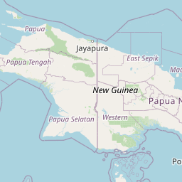
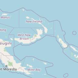
Distance Map Between General Santos and Batu
General Santos, Koronadal, Philippines ↔ Batu, Surabaya, Indonesia = 1301 miles = 2094 km.


Leaflet | © OpenStreetMap
How far is it between General Santos and Batu
General Santos is located in Philippines with (6.1128,125.1717) coordinates and Batu is located in Indonesia with (-7.87,112.5283) coordinates. The calculated flying distance from General Santos to Batu is equal to 1301 miles which is equal to 2094 km.
| City/Place | Latitude and Longitude | GPS Coordinates |
|---|---|---|
| General Santos | 6.1128, 125.1717 | 6° 6´ 46.0080'' N 125° 10´ 18.0120'' E |
| Batu | -7.87, 112.5283 | 7° 52´ 12.0000'' S 112° 31´ 41.9880'' E |
General Santos, Koronadal, Philippines
Related Distances from General Santos
| Cities | Distance |
|---|---|
| General Santos to Glan | 57 km |
| General Santos to Kidapawan | 150 km |
| General Santos to Tacurong | 90 km |
| General Santos to Kabacan | 160 km |
| General Santos to Isulan | 101 km |
Batu, Surabaya, Indonesia
Related Distances to Batu
| Cities | Distance |
|---|---|
| Lahat to Baturaja | 137 km |
| Jakarta to Batu | 781 km |
| Prabumulih to Baturaja | 102 km |
| Balung to Batu | 188 km |
| Banyuwangi to Batu | 294 km |