Distance from Genhe to Zalantun
Distance between Genhe and Zalantun is 321 kilometers (200 miles).
Driving distance from Genhe to Zalantun is 671 kilometers (417 miles).
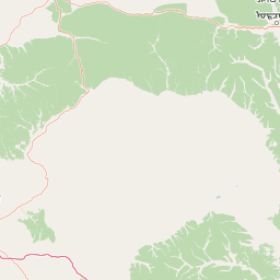
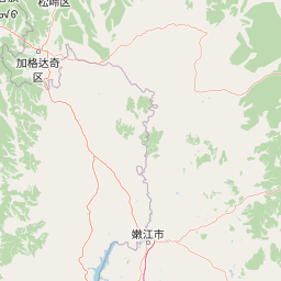
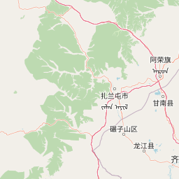
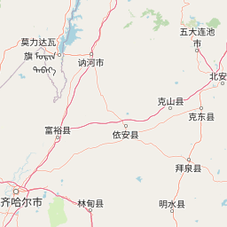
Distance Map Between Genhe and Zalantun
Genhe, Hohhot, China ↔ Zalantun, Hohhot, China = 200 miles = 321 km.


How far is it between Genhe and Zalantun
Genhe is located in China with (50.7833,121.5167) coordinates and Zalantun is located in China with (48,122.7167) coordinates. The calculated flying distance from Genhe to Zalantun is equal to 200 miles which is equal to 321 km.
If you want to go by car, the driving distance between Genhe and Zalantun is 671.03 km. If you ride your car with an average speed of 112 kilometers/hour (70 miles/h), travel time will be 05 hours 59 minutes. Please check the avg. speed travel time table on the right for various options.
Difference between fly and go by a car is 350 km.
| City/Place | Latitude and Longitude | GPS Coordinates |
|---|---|---|
| Genhe | 50.7833, 121.5167 | 50° 46´ 59.9880'' N 121° 31´ 0.0120'' E |
| Zalantun | 48, 122.7167 | 48° 0´ 0.0000'' N 122° 43´ 0.0120'' E |
Estimated Travel Time Between Genhe and Zalantun
| Average Speed | Travel Time |
|---|---|
| 30 mph (48 km/h) | 13 hours 58 minutes |
| 40 mph (64 km/h) | 10 hours 29 minutes |
| 50 mph (80 km/h) | 08 hours 23 minutes |
| 60 mph (97 km/h) | 06 hours 55 minutes |
| 70 mph (112 km/h) | 05 hours 59 minutes |
| 75 mph (120 km/h) | 05 hours 35 minutes |
Related Distances from Genhe
| Cities | Distance |
|---|---|
| Genhe to Shiguai | 2702 km |
| Genhe to Jining 2 | 2455 km |
| Genhe to Wuda | 3158 km |
| Genhe to Salaqi | 2651 km |
| Genhe to Hailar | 258 km |
Related Distances to Zalantun
| Cities | Distance |
|---|---|
| Manzhouli to Zalantun | 615 km |
| Hailar to Zalantun | 429 km |
| Pingzhuang to Zalantun | 1219 km |
| Chifeng to Zalantun | 897 km |
| Ordos to Zalantun | 2377 km |