Distance from Genk to Schoten
Distance between Genk and Schoten is 77 kilometers (48 miles).
Driving distance from Genk to Schoten is 89 kilometers (55 miles).
Distance Map Between Genk and Schoten
Genk, , Belgium ↔ Schoten, , Belgium = 48 miles = 77 km.

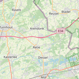

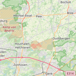


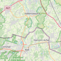

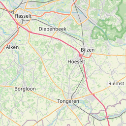


Leaflet | © OpenStreetMap
How far is it between Genk and Schoten
Genk is located in Belgium with (50.965,5.5008) coordinates and Schoten is located in Belgium with (51.2525,4.5027) coordinates. The calculated flying distance from Genk to Schoten is equal to 48 miles which is equal to 77 km.
If you want to go by car, the driving distance between Genk and Schoten is 88.64 km. If you ride your car with an average speed of 112 kilometers/hour (70 miles/h), travel time will be 00 hours 47 minutes. Please check the avg. speed travel time table on the right for various options.
Difference between fly and go by a car is 12 km.
| City/Place | Latitude and Longitude | GPS Coordinates |
|---|---|---|
| Genk | 50.965, 5.5008 | 50° 57´ 54.0000'' N 5° 30´ 2.9520'' E |
| Schoten | 51.2525, 4.5027 | 51° 15´ 9.0360'' N 4° 30´ 9.6480'' E |
Estimated Travel Time Between Genk and Schoten
| Average Speed | Travel Time |
|---|---|
| 30 mph (48 km/h) | 01 hours 50 minutes |
| 40 mph (64 km/h) | 01 hours 23 minutes |
| 50 mph (80 km/h) | 01 hours 06 minutes |
| 60 mph (97 km/h) | 00 hours 54 minutes |
| 70 mph (112 km/h) | 00 hours 47 minutes |
| 75 mph (120 km/h) | 00 hours 44 minutes |
Genk, , Belgium
Related Distances from Genk
| Cities | Distance |
|---|---|
| Genk to Gent | 151 km |
| Genk to Sint Truiden | 37 km |
| Genk to Mechelen | 89 km |
| Genk to Mol | 51 km |
| Genk to Leuven | 69 km |
Schoten, , Belgium
Related Distances to Schoten
| Cities | Distance |
|---|---|
| Antwerpen to Schoten | 13 km |
| Geel to Schoten | 45 km |
| Mol to Schoten | 55 km |
| Lier to Schoten | 22 km |
| Kortrijk to Schoten | 112 km |