Distance from Gent to Koksijde
Distance between Gent and Koksijde is 76 kilometers (47 miles).
Driving distance from Gent to Koksijde is 86 kilometers (53 miles).
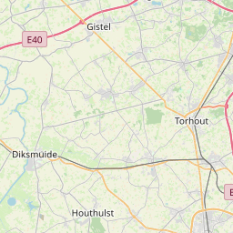
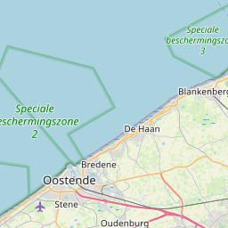
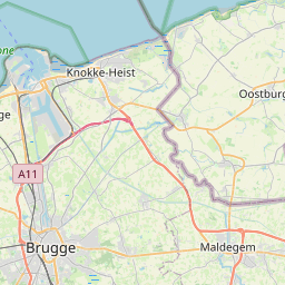
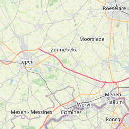
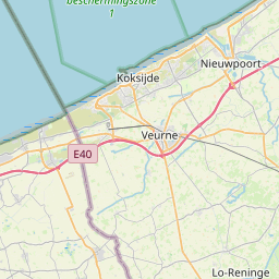
Distance Map Between Gent and Koksijde
Gent, , Belgium ↔ Koksijde, , Belgium = 47 miles = 76 km.


How far is it between Gent and Koksijde
Gent is located in Belgium with (51.05,3.7167) coordinates and Koksijde is located in Belgium with (51.1164,2.6377) coordinates. The calculated flying distance from Gent to Koksijde is equal to 47 miles which is equal to 76 km.
If you want to go by car, the driving distance between Gent and Koksijde is 85.76 km. If you ride your car with an average speed of 112 kilometers/hour (70 miles/h), travel time will be 00 hours 45 minutes. Please check the avg. speed travel time table on the right for various options.
Difference between fly and go by a car is 10 km.
| City/Place | Latitude and Longitude | GPS Coordinates |
|---|---|---|
| Gent | 51.05, 3.7167 | 51° 2´ 60.0000'' N 3° 43´ 0.0120'' E |
| Koksijde | 51.1164, 2.6377 | 51° 6´ 59.1120'' N 2° 38´ 15.7920'' E |
Estimated Travel Time Between Gent and Koksijde
| Average Speed | Travel Time |
|---|---|
| 30 mph (48 km/h) | 01 hours 47 minutes |
| 40 mph (64 km/h) | 01 hours 20 minutes |
| 50 mph (80 km/h) | 01 hours 04 minutes |
| 60 mph (97 km/h) | 00 hours 53 minutes |
| 70 mph (112 km/h) | 00 hours 45 minutes |
| 75 mph (120 km/h) | 00 hours 42 minutes |
Related Distances from Gent
| Cities | Distance |
|---|---|
| Gent to Leuven | 88 km |
| Gent to Waregem | 36 km |
| Gent to Mol | 115 km |
| Gent to Oudenaarde | 28 km |
| Gent to Mechelen | 80 km |
Related Distances to Koksijde
| Cities | Distance |
|---|---|
| Knokke Heist to Koksijde | 71 km |
| Gent to Koksijde | 86 km |
| Brugge to Koksijde | 52 km |
| Geel to Koksijde | 188 km |
| Ieper to Koksijde | 37 km |