Distance from Gent to Tongeren
Distance between Gent and Tongeren is 126 kilometers (78 miles).
Driving distance from Gent to Tongeren is 148 kilometers (92 miles).
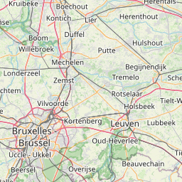
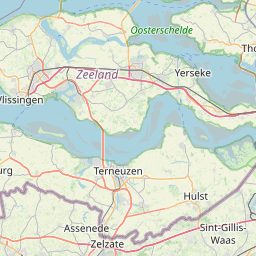
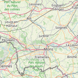
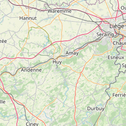
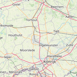
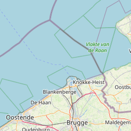
Distance Map Between Gent and Tongeren
Gent, , Belgium ↔ Tongeren, , Belgium = 78 miles = 126 km.


How far is it between Gent and Tongeren
Gent is located in Belgium with (51.05,3.7167) coordinates and Tongeren is located in Belgium with (50.7805,5.4648) coordinates. The calculated flying distance from Gent to Tongeren is equal to 78 miles which is equal to 126 km.
If you want to go by car, the driving distance between Gent and Tongeren is 147.64 km. If you ride your car with an average speed of 112 kilometers/hour (70 miles/h), travel time will be 01 hours 19 minutes. Please check the avg. speed travel time table on the right for various options.
Difference between fly and go by a car is 22 km.
| City/Place | Latitude and Longitude | GPS Coordinates |
|---|---|---|
| Gent | 51.05, 3.7167 | 51° 2´ 60.0000'' N 3° 43´ 0.0120'' E |
| Tongeren | 50.7805, 5.4648 | 50° 46´ 49.9440'' N 5° 27´ 53.4240'' E |
Estimated Travel Time Between Gent and Tongeren
| Average Speed | Travel Time |
|---|---|
| 30 mph (48 km/h) | 03 hours 04 minutes |
| 40 mph (64 km/h) | 02 hours 18 minutes |
| 50 mph (80 km/h) | 01 hours 50 minutes |
| 60 mph (97 km/h) | 01 hours 31 minutes |
| 70 mph (112 km/h) | 01 hours 19 minutes |
| 75 mph (120 km/h) | 01 hours 13 minutes |
Related Distances from Gent
| Cities | Distance |
|---|---|
| Gent to Leuven | 88 km |
| Gent to Waregem | 36 km |
| Gent to Mol | 115 km |
| Gent to Oudenaarde | 28 km |
| Gent to Mechelen | 80 km |
Related Distances to Tongeren
| Cities | Distance |
|---|---|
| Antwerpen to Tongeren | 103 km |
| Balen to Tongeren | 60 km |
| Ranst to Tongeren | 90 km |
| Maaseik to Tongeren | 48 km |
| Brugge to Tongeren | 193 km |