Distance from Genteng to Kalianget
Distance between Genteng and Kalianget is 148 kilometers (92 miles).
Driving distance from Genteng to Kalianget is 447 kilometers (278 miles).
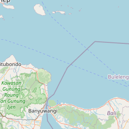
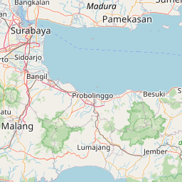
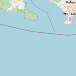
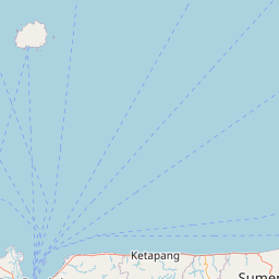
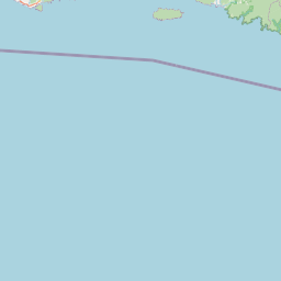
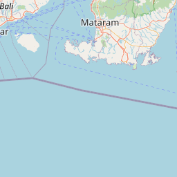
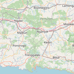
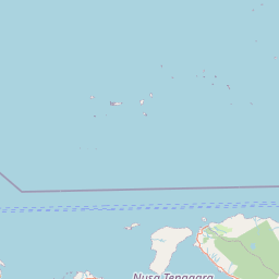
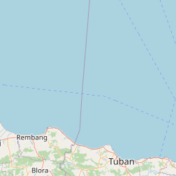
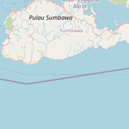
Distance Map Between Genteng and Kalianget
Genteng, Surabaya, Indonesia ↔ Kalianget, Surabaya, Indonesia = 92 miles = 148 km.


How far is it between Genteng and Kalianget
Genteng is located in Indonesia with (-8.3667,114.15) coordinates and Kalianget is located in Indonesia with (-7.0537,113.9424) coordinates. The calculated flying distance from Genteng to Kalianget is equal to 92 miles which is equal to 148 km.
If you want to go by car, the driving distance between Genteng and Kalianget is 446.89 km. If you ride your car with an average speed of 112 kilometers/hour (70 miles/h), travel time will be 03 hours 59 minutes. Please check the avg. speed travel time table on the right for various options.
Difference between fly and go by a car is 299 km.
| City/Place | Latitude and Longitude | GPS Coordinates |
|---|---|---|
| Genteng | -8.3667, 114.15 | 8° 22´ 0.0120'' S 114° 9´ 0.0000'' E |
| Kalianget | -7.0537, 113.9424 | 7° 3´ 13.3200'' S 113° 56´ 32.7840'' E |
Estimated Travel Time Between Genteng and Kalianget
| Average Speed | Travel Time |
|---|---|
| 30 mph (48 km/h) | 09 hours 18 minutes |
| 40 mph (64 km/h) | 06 hours 58 minutes |
| 50 mph (80 km/h) | 05 hours 35 minutes |
| 60 mph (97 km/h) | 04 hours 36 minutes |
| 70 mph (112 km/h) | 03 hours 59 minutes |
| 75 mph (120 km/h) | 03 hours 43 minutes |
Related Distances from Genteng
| Cities | Distance |
|---|---|
| Genteng to Nganjuk | 331 km |
| Genteng to Kedungwaru | 325 km |
| Genteng to Lumajang | 132 km |
| Genteng to Muncar | 26 km |
| Genteng to Srono | 16 km |
Related Distances to Kalianget
| Cities | Distance |
|---|---|
| Bojonegoro to Kalianget | 284 km |
| Banyuwangi to Kalianget | 491 km |
| Bangkalan to Kalianget | 154 km |
| Jember to Kalianget | 375 km |
| Balung to Kalianget | 371 km |