Distance from Germersheim to Neuwied
Distance between Germersheim and Neuwied is 149 kilometers (93 miles).
Driving distance from Germersheim to Neuwied is 193 kilometers (120 miles).
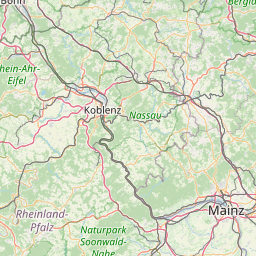
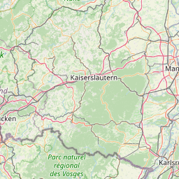
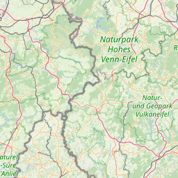
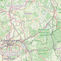
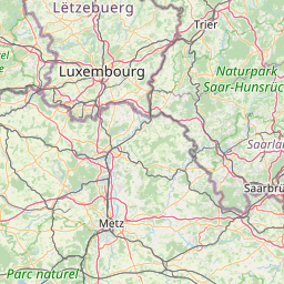
Distance Map Between Germersheim and Neuwied
Germersheim, Mainz, Germany ↔ Neuwied, Mainz, Germany = 93 miles = 149 km.


How far is it between Germersheim and Neuwied
Germersheim is located in Germany with (49.2231,8.3639) coordinates and Neuwied is located in Germany with (50.4336,7.4706) coordinates. The calculated flying distance from Germersheim to Neuwied is equal to 93 miles which is equal to 149 km.
If you want to go by car, the driving distance between Germersheim and Neuwied is 193.37 km. If you ride your car with an average speed of 112 kilometers/hour (70 miles/h), travel time will be 01 hours 43 minutes. Please check the avg. speed travel time table on the right for various options.
Difference between fly and go by a car is 44 km.
| City/Place | Latitude and Longitude | GPS Coordinates |
|---|---|---|
| Germersheim | 49.2231, 8.3639 | 49° 13´ 23.0160'' N 8° 21´ 50.0040'' E |
| Neuwied | 50.4336, 7.4706 | 50° 26´ 0.9600'' N 7° 28´ 14.0520'' E |
Estimated Travel Time Between Germersheim and Neuwied
| Average Speed | Travel Time |
|---|---|
| 30 mph (48 km/h) | 04 hours 01 minutes |
| 40 mph (64 km/h) | 03 hours 01 minutes |
| 50 mph (80 km/h) | 02 hours 25 minutes |
| 60 mph (97 km/h) | 01 hours 59 minutes |
| 70 mph (112 km/h) | 01 hours 43 minutes |
| 75 mph (120 km/h) | 01 hours 36 minutes |
Related Distances from Germersheim
| Cities | Distance |
|---|---|
| Germersheim to Schifferstadt | 27 km |
| Germersheim to Wittlich | 219 km |
| Germersheim to Hassloch | 25 km |
| Germersheim to Nieder Ingelheim | 120 km |
| Germersheim to Kaiserslautern | 92 km |
Related Distances to Neuwied
| Cities | Distance |
|---|---|
| Konz to Neuwied | 145 km |
| Frankenthal to Neuwied | 152 km |
| Kaiserslautern to Neuwied | 163 km |
| Bendorf to Neuwied | 13 km |
| Andernach to Neuwied | 9 km |