Distance from Gharo to Al Basrah
Distance between Gharo and Al Basrah is 2049 kilometers (1273 miles).
Driving distance from Gharo to Al Basrah is 2787 kilometers (1732 miles).
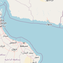
Distance Map Between Gharo and Al Basrah
Gharo, Karachi, Pakistan ↔ Al Basrah, Iraq = 1273 miles = 2049 km.


How far is it between Ghāro and Al Başrah
Gharo is located in Pakistan with (24.7424,67.5857) coordinates and Al Basrah is located in Iraq with (30.533,47.7975) coordinates. The calculated flying distance from Gharo to Al Basrah is equal to 1273 miles which is equal to 2049 km.
If you want to go by car, the driving distance between Gharo and Al Basrah is 2787.26 km. If you ride your car with an average speed of 112 kilometers/hour (70 miles/h), travel time will be 24 hours 53 minutes. Please check the avg. speed travel time table on the right for various options.
Difference between fly and go by a car is 738 km.
| City/Place | Latitude and Longitude | GPS Coordinates |
|---|---|---|
| Gharo | 24.7424, 67.5857 | 24° 44´ 32.6760'' N 67° 35´ 8.3400'' E |
| Al Basrah | 30.533, 47.7975 | 30° 31´ 58.8720'' N 47° 47´ 50.8920'' E |
Estimated Travel Time Between Ghāro and Al Başrah
| Average Speed | Travel Time |
|---|---|
| 30 mph (48 km/h) | 58 hours 04 minutes |
| 40 mph (64 km/h) | 43 hours 33 minutes |
| 50 mph (80 km/h) | 34 hours 50 minutes |
| 60 mph (97 km/h) | 28 hours 44 minutes |
| 70 mph (112 km/h) | 24 hours 53 minutes |
| 75 mph (120 km/h) | 23 hours 13 minutes |
Related Distances from Gharo
| Cities | Distance |
|---|---|
| Gharo to Al Basrah | 2787 km |
| Gharo to Al Basrat Al Qadimah | 2722 km |
Related Distances to Al Basrah
| Cities | Distance |
|---|---|
| Karachi to Al Basrah | 2653 km |
| Quetta to Al Basrah | 2400 km |
| Kharan to Al Basrah | 2273 km |
| Chaman to Al Basrah | 2522 km |
| Jiwani to Al Basrah | 2135 km |