Distance from Ghat to Misratah
Distance between Ghat and Misratah is 953 kilometers (592 miles).
Driving distance from Ghat to Misratah is 1268 kilometers (788 miles).
Distance Map Between Ghat and Misratah
Ghat, Libya ↔ Misratah, Libya = 592 miles = 953 km.


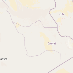


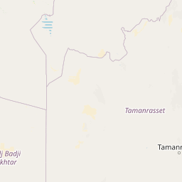


How far is it between Ghāt and Mişrātah
Ghat is located in Libya with (24.9647,10.1728) coordinates and Misratah is located in Libya with (32.3754,15.0925) coordinates. The calculated flying distance from Ghat to Misratah is equal to 592 miles which is equal to 953 km.
If you want to go by car, the driving distance between Ghat and Misratah is 1268.34 km. If you ride your car with an average speed of 112 kilometers/hour (70 miles/h), travel time will be 11 hours 19 minutes. Please check the avg. speed travel time table on the right for various options.
Difference between fly and go by a car is 315 km.
| City/Place | Latitude and Longitude | GPS Coordinates |
|---|---|---|
| Ghat | 24.9647, 10.1728 | 24° 57´ 52.9920'' N 10° 10´ 22.0080'' E |
| Misratah | 32.3754, 15.0925 | 32° 22´ 31.2600'' N 15° 5´ 33.1440'' E |
Estimated Travel Time Between Ghāt and Mişrātah
| Average Speed | Travel Time |
|---|---|
| 30 mph (48 km/h) | 26 hours 25 minutes |
| 40 mph (64 km/h) | 19 hours 49 minutes |
| 50 mph (80 km/h) | 15 hours 51 minutes |
| 60 mph (97 km/h) | 13 hours 04 minutes |
| 70 mph (112 km/h) | 11 hours 19 minutes |
| 75 mph (120 km/h) | 10 hours 34 minutes |
Related Distances from Ghat
| Cities | Distance |
|---|---|
| Ghat to Tripoli | 1335 km |
| Ghat to Sabha | 569 km |
| Ghat to Benghazi | 1722 km |
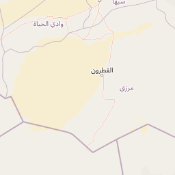
| Ghat to Murzuq | 539 km |
| Ghat to Waddan | 929 km |
Related Distances to Misratah
| Cities | Distance |
|---|---|
| Hun to Misratah | 414 km |
| Al Khums to Misratah | 95 km |
| Ghat to Misratah | 1268 km |
| Al Jadid to Misratah | 707 km |
| Awbari to Misratah | 898 km |