Distance from Ghazipur to Sherkot
Distance between Ghazipur and Sherkot is 646 kilometers (401 miles).
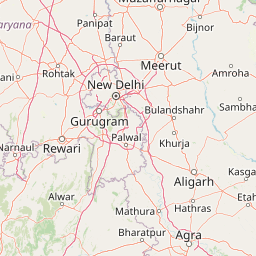
Distance Map Between Ghazipur and Sherkot
Ghazipur, Lucknow, India ↔ Sherkot, Lucknow, India = 401 miles = 646 km.


Leaflet | © OpenStreetMap
How far is it between Ghāzīpur and Sherkot
Ghazipur is located in India with (25.5805,83.5806) coordinates and Sherkot is located in India with (29.3263,78.5745) coordinates. The calculated flying distance from Ghazipur to Sherkot is equal to 401 miles which is equal to 646 km.
| City/Place | Latitude and Longitude | GPS Coordinates |
|---|---|---|
| Ghazipur | 25.5805, 83.5806 | 25° 34´ 49.8720'' N 83° 34´ 50.0880'' E |
| Sherkot | 29.3263, 78.5745 | 29° 19´ 34.5720'' N 78° 34´ 28.1280'' E |
Ghazipur, Lucknow, India
Related Distances from Ghazipur
| Cities | Distance |
|---|---|
| Ghazipur to Zamania | 25 km |
| Ghazipur to Saidpur 2 | 38 km |
| Ghazipur to Mau | 45 km |
| Ghazipur to Muhammadabad | 22 km |
| Ghazipur to Rasra | 49 km |
Sherkot, Lucknow, India
Related Distances to Sherkot
| Cities | Distance |
|---|---|
| Bijnor to Sherkot | 45 km |
| Moradabad to Sherkot | 69 km |
| Najibabad to Sherkot | 45 km |
| Nagina to Sherkot | 24 km |
| Meerut to Sherkot | 122 km |