Distance from Ghosi to Tanda
Distance between Ghosi and Tanda is 101 kilometers (63 miles).
Driving distance from Ghosi to Tanda is 111 kilometers (69 miles).
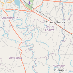
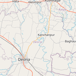
Distance Map Between Ghosi and Tanda
Ghosi, Lucknow, India ↔ Tanda, Lucknow, India = 63 miles = 101 km.


How far is it between Ghosi and Tāndā
Ghosi is located in India with (26.1032,83.5438) coordinates and Tanda is located in India with (26.5506,82.658) coordinates. The calculated flying distance from Ghosi to Tanda is equal to 63 miles which is equal to 101 km.
If you want to go by car, the driving distance between Ghosi and Tanda is 110.84 km. If you ride your car with an average speed of 112 kilometers/hour (70 miles/h), travel time will be 00 hours 59 minutes. Please check the avg. speed travel time table on the right for various options.
Difference between fly and go by a car is 10 km.
| City/Place | Latitude and Longitude | GPS Coordinates |
|---|---|---|
| Ghosi | 26.1032, 83.5438 | 26° 6´ 11.4480'' N 83° 32´ 37.6440'' E |
| Tanda | 26.5506, 82.658 | 26° 33´ 2.2680'' N 82° 39´ 28.8720'' E |
Estimated Travel Time Between Ghosi and Tāndā
| Average Speed | Travel Time |
|---|---|
| 30 mph (48 km/h) | 02 hours 18 minutes |
| 40 mph (64 km/h) | 01 hours 43 minutes |
| 50 mph (80 km/h) | 01 hours 23 minutes |
| 60 mph (97 km/h) | 01 hours 08 minutes |
| 70 mph (112 km/h) | 00 hours 59 minutes |
| 75 mph (120 km/h) | 00 hours 55 minutes |
Related Distances from Ghosi
| Cities | Distance |
|---|---|
| Ghosi to Mau | 19 km |
| Ghosi to Gorakhpur 2 | 82 km |
| Ghosi to Varanasi | 122 km |
| Ghosi to Mubarakpur | 35 km |
| Ghosi to Jaunpur | 107 km |
Related Distances to Tanda
| Cities | Distance |
|---|---|
| Akbarpur to Tanda 2 | 19 km |
| Basti to Tanda 2 | 38 km |
| Sultanpur to Tanda 2 | 74 km |
| Ayodhya to Tanda 2 | 59 km |
| Gorakhpur 2 to Tanda 2 | 108 km |