Distance from Glazov to Astana
Distance between Glazov and Astana is 1427 kilometers (887 miles).
Driving distance from Glazov to Astana is 1792 kilometers (1114 miles).
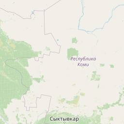
Distance Map Between Glazov and Astana
Glazov, Izhevsk, Russia ↔ Astana, Kazakhstan = 887 miles = 1427 km.


How far is it between Glazov and Astana
Glazov is located in Russia with (58.1393,52.658) coordinates and Astana is located in Kazakhstan with (51.1801,71.446) coordinates. The calculated flying distance from Glazov to Astana is equal to 887 miles which is equal to 1427 km.
If you want to go by car, the driving distance between Glazov and Astana is 1792.16 km. If you ride your car with an average speed of 112 kilometers/hour (70 miles/h), travel time will be 16 hours 00 minutes. Please check the avg. speed travel time table on the right for various options.
Difference between fly and go by a car is 365 km.
| City/Place | Latitude and Longitude | GPS Coordinates |
|---|---|---|
| Glazov | 58.1393, 52.658 | 58° 8´ 21.4800'' N 52° 39´ 28.8000'' E |
| Astana | 51.1801, 71.446 | 51° 10´ 48.3600'' N 71° 26´ 45.5280'' E |
Estimated Travel Time Between Glazov and Astana
| Average Speed | Travel Time |
|---|---|
| 30 mph (48 km/h) | 37 hours 20 minutes |
| 40 mph (64 km/h) | 28 hours 00 minutes |
| 50 mph (80 km/h) | 22 hours 24 minutes |
| 60 mph (97 km/h) | 18 hours 28 minutes |
| 70 mph (112 km/h) | 16 hours 00 minutes |
| 75 mph (120 km/h) | 14 hours 56 minutes |
Related Distances from Glazov
| Cities | Distance |
|---|---|
| Glazov to Kyzylorda | 2234 km |
| Glazov to Astana | 1792 km |
| Glazov to Aqtobe | 1180 km |
| Glazov to Petropavlovsk | 1295 km |
| Glazov to Kostanay | 1205 km |
Related Distances to Astana
| Cities | Distance |
|---|---|
| Chelyabinsk to Astana | 1004 km |
| Moscow to Astana | 2749 km |
| Novosibirsk to Astana | 1029 km |
| Ufa to Astana | 1425 km |
| Omsk to Astana | 586 km |