Distance from Gloucester to Grays
Distance between Gloucester and Grays is 182 kilometers (113 miles).
Driving distance from Gloucester to Grays is 227 kilometers (141 miles).
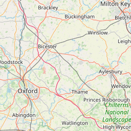
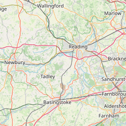
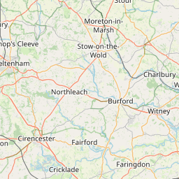
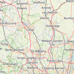
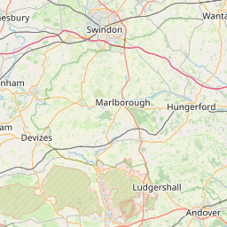
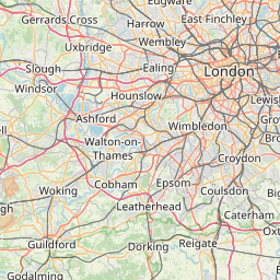
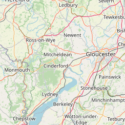
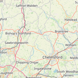
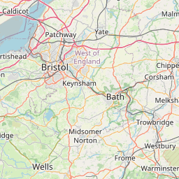
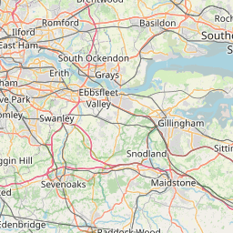
Distance Map Between Gloucester and Grays
Gloucester, London, United Kingdom ↔ Grays, London, United Kingdom = 113 miles = 182 km.


How far is it between Gloucester and Grays
Gloucester is located in United Kingdom with (51.8657,-2.2431) coordinates and Grays is located in United Kingdom with (51.4757,0.3252) coordinates. The calculated flying distance from Gloucester to Grays is equal to 113 miles which is equal to 182 km.
If you want to go by car, the driving distance between Gloucester and Grays is 227.36 km. If you ride your car with an average speed of 112 kilometers/hour (70 miles/h), travel time will be 02 hours 01 minutes. Please check the avg. speed travel time table on the right for various options.
Difference between fly and go by a car is 45 km.
| City/Place | Latitude and Longitude | GPS Coordinates |
|---|---|---|
| Gloucester | 51.8657, -2.2431 | 51° 51´ 56.4480'' N 2° 14´ 35.1600'' W |
| Grays | 51.4757, 0.3252 | 51° 28´ 32.3760'' N 0° 19´ 30.7560'' E |
Estimated Travel Time Between Gloucester and Grays
| Average Speed | Travel Time |
|---|---|
| 30 mph (48 km/h) | 04 hours 44 minutes |
| 40 mph (64 km/h) | 03 hours 33 minutes |
| 50 mph (80 km/h) | 02 hours 50 minutes |
| 60 mph (97 km/h) | 02 hours 20 minutes |
| 70 mph (112 km/h) | 02 hours 01 minutes |
| 75 mph (120 km/h) | 01 hours 53 minutes |
Related Distances from Gloucester
| Cities | Distance |
|---|---|
| Gloucester to Manchester | 216 km |
| Gloucester to City Of London | 184 km |
| Gloucester to Oxford | 79 km |
| Gloucester to Worcester 3 | 46 km |
| Gloucester to Liverpool | 234 km |
Related Distances to Grays
| Cities | Distance |
|---|---|
| Chelmsford to Grays | 44 km |
| Dagenham to Grays | 20 km |
| Basildon to Grays | 19 km |
| Birmingham to Grays | 228 km |
| Colchester to Grays | 79 km |