Distance from Gloucester to Yate
Distance between Gloucester and Yate is 38 kilometers (24 miles).
Driving distance from Gloucester to Yate is 47 kilometers (29 miles).
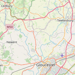
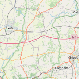
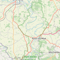
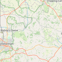
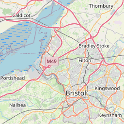
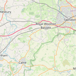
Distance Map Between Gloucester and Yate
Gloucester, London, United Kingdom ↔ Yate, London, United Kingdom = 24 miles = 38 km.


How far is it between Gloucester and Yate
Gloucester is located in United Kingdom with (51.8657,-2.2431) coordinates and Yate is located in United Kingdom with (51.5407,-2.4184) coordinates. The calculated flying distance from Gloucester to Yate is equal to 24 miles which is equal to 38 km.
If you want to go by car, the driving distance between Gloucester and Yate is 46.91 km. If you ride your car with an average speed of 112 kilometers/hour (70 miles/h), travel time will be 00 hours 25 minutes. Please check the avg. speed travel time table on the right for various options.
Difference between fly and go by a car is 9 km.
| City/Place | Latitude and Longitude | GPS Coordinates |
|---|---|---|
| Gloucester | 51.8657, -2.2431 | 51° 51´ 56.4480'' N 2° 14´ 35.1600'' W |
| Yate | 51.5407, -2.4184 | 51° 32´ 26.6640'' N 2° 25´ 6.2040'' W |
Estimated Travel Time Between Gloucester and Yate
| Average Speed | Travel Time |
|---|---|
| 30 mph (48 km/h) | 00 hours 58 minutes |
| 40 mph (64 km/h) | 00 hours 43 minutes |
| 50 mph (80 km/h) | 00 hours 35 minutes |
| 60 mph (97 km/h) | 00 hours 29 minutes |
| 70 mph (112 km/h) | 00 hours 25 minutes |
| 75 mph (120 km/h) | 00 hours 23 minutes |
Related Distances from Gloucester
| Cities | Distance |
|---|---|
| Gloucester to Manchester | 216 km |
| Gloucester to City Of London | 184 km |
| Gloucester to Oxford | 79 km |
| Gloucester to Worcester 3 | 46 km |
| Gloucester to Liverpool | 234 km |
Related Distances to Yate
| Cities | Distance |
|---|---|
| Bristol to Yate | 18 km |
| City Of London to Yate | 181 km |
| Bath to Yate | 28 km |
| Chipping Sodbury to Yate | 2 km |
| Gloucester to Yate | 47 km |