Distance from Glowno to Berlin
Distance between Glowno and Berlin is 434 kilometers (269 miles).
Driving distance from Glowno to Berlin is 476 kilometers (296 miles).
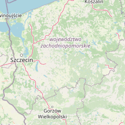
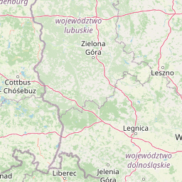
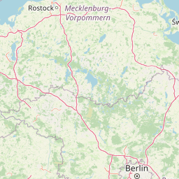
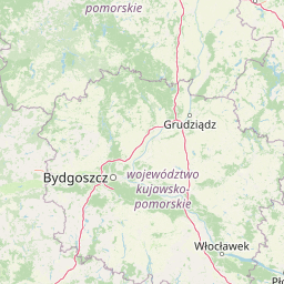
Distance Map Between Glowno and Berlin
Glowno, Lodz, Poland ↔ Berlin, Germany = 269 miles = 434 km.


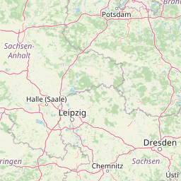
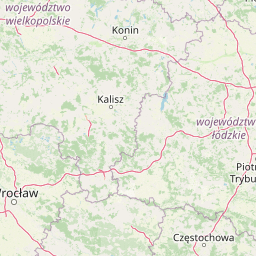
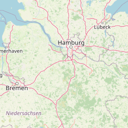

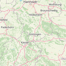


How far is it between Głowno and Berlin
Glowno is located in Poland with (51.9646,19.7157) coordinates and Berlin is located in Germany with (52.5244,13.4105) coordinates. The calculated flying distance from Glowno to Berlin is equal to 269 miles which is equal to 434 km.
If you want to go by car, the driving distance between Glowno and Berlin is 476.34 km. If you ride your car with an average speed of 112 kilometers/hour (70 miles/h), travel time will be 04 hours 15 minutes. Please check the avg. speed travel time table on the right for various options.
Difference between fly and go by a car is 42 km.
| City/Place | Latitude and Longitude | GPS Coordinates |
|---|---|---|
| Glowno | 51.9646, 19.7157 | 51° 57´ 52.6680'' N 19° 42´ 56.3400'' E |
| Berlin | 52.5244, 13.4105 | 52° 31´ 27.7320'' N 13° 24´ 37.9080'' E |
Estimated Travel Time Between Głowno and Berlin
| Average Speed | Travel Time |
|---|---|
| 30 mph (48 km/h) | 09 hours 55 minutes |
| 40 mph (64 km/h) | 07 hours 26 minutes |
| 50 mph (80 km/h) | 05 hours 57 minutes |
| 60 mph (97 km/h) | 04 hours 54 minutes |
| 70 mph (112 km/h) | 04 hours 15 minutes |
| 75 mph (120 km/h) | 03 hours 58 minutes |
Related Distances from Glowno
| Cities | Distance |
|---|---|
| Glowno to Berlin | 476 km |
| Glowno to Munich | 982 km |
| Glowno to Hamburg | 753 km |
Related Distances to Berlin
| Cities | Distance |
|---|---|
| Warsaw to Berlin | 573 km |
| Krakow to Berlin | 599 km |
| Wroclaw to Berlin | 344 km |
| Poznan to Berlin | 272 km |
| Gdansk to Berlin | 507 km |