Distance from Goeteborg to Brussels
Distance between Goeteborg and Brussels is 908 kilometers (564 miles).
Driving distance from Goeteborg to Brussels is 1224 kilometers (761 miles).
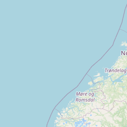
Distance Map Between Goeteborg and Brussels
Goeteborg, Sweden ↔ Brussels, Belgium = 564 miles = 908 km.


How far is it between Göteborg and Brussels
Goeteborg is located in Sweden with (57.7072,11.9668) coordinates and Brussels is located in Belgium with (50.8505,4.3488) coordinates. The calculated flying distance from Goeteborg to Brussels is equal to 564 miles which is equal to 908 km.
If you want to go by car, the driving distance between Goeteborg and Brussels is 1224.29 km. If you ride your car with an average speed of 112 kilometers/hour (70 miles/h), travel time will be 10 hours 55 minutes. Please check the avg. speed travel time table on the right for various options.
Difference between fly and go by a car is 316 km.
| City/Place | Latitude and Longitude | GPS Coordinates |
|---|---|---|
| Goeteborg | 57.7072, 11.9668 | 57° 42´ 25.7760'' N 11° 58´ 0.4440'' E |
| Brussels | 50.8505, 4.3488 | 50° 51´ 1.6200'' N 4° 20´ 55.6080'' E |
Estimated Travel Time Between Göteborg and Brussels
| Average Speed | Travel Time |
|---|---|
| 30 mph (48 km/h) | 25 hours 30 minutes |
| 40 mph (64 km/h) | 19 hours 07 minutes |
| 50 mph (80 km/h) | 15 hours 18 minutes |
| 60 mph (97 km/h) | 12 hours 37 minutes |
| 70 mph (112 km/h) | 10 hours 55 minutes |
| 75 mph (120 km/h) | 10 hours 12 minutes |
Related Distances to Brussels
| Cities | Distance |
|---|---|
| Stockholm to Brussels | 1571 km |
| Uppsala to Brussels | 1635 km |
| Linkoping to Brussels | 1369 km |
| Motala to Brussels | 1361 km |
| Upplands Vaesby to Brussels | 1586 km |