Distance from Goiania to Potosi
Distance between Goiania and Potosi is 1772 kilometers (1101 miles).
Driving distance from Goiania to Potosi is 2560 kilometers (1590 miles).
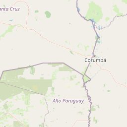
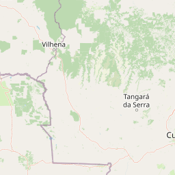
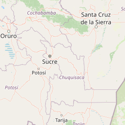
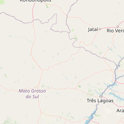
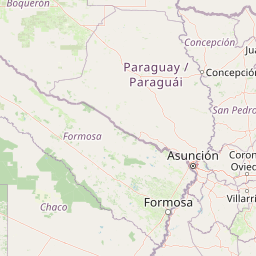
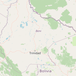
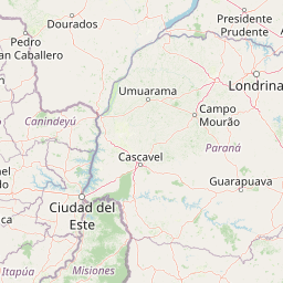
Distance Map Between Goiania and Potosi
Goiania, Brazil ↔ Potosi, Bolivia = 1101 miles = 1772 km.
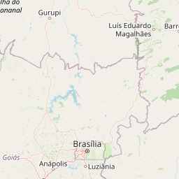
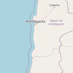
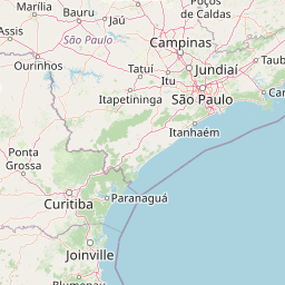

How far is it between Goiânia and Potosí
Goiania is located in Brazil with (-16.6786,-49.2539) coordinates and Potosi is located in Bolivia with (-19.5836,-65.7531) coordinates. The calculated flying distance from Goiania to Potosi is equal to 1101 miles which is equal to 1772 km.
If you want to go by car, the driving distance between Goiania and Potosi is 2559.53 km. If you ride your car with an average speed of 112 kilometers/hour (70 miles/h), travel time will be 22 hours 51 minutes. Please check the avg. speed travel time table on the right for various options.
Difference between fly and go by a car is 788 km.
| City/Place | Latitude and Longitude | GPS Coordinates |
|---|---|---|
| Goiania | -16.6786, -49.2539 | 16° 40´ 42.9960'' S 49° 15´ 14.0040'' W |
| Potosi | -19.5836, -65.7531 | 19° 35´ 0.9960'' S 65° 45´ 11.0160'' W |
Estimated Travel Time Between Goiânia and Potosí
| Average Speed | Travel Time |
|---|---|
| 30 mph (48 km/h) | 53 hours 19 minutes |
| 40 mph (64 km/h) | 39 hours 59 minutes |
| 50 mph (80 km/h) | 31 hours 59 minutes |
| 60 mph (97 km/h) | 26 hours 23 minutes |
| 70 mph (112 km/h) | 22 hours 51 minutes |
| 75 mph (120 km/h) | 21 hours 19 minutes |
Related Distances from Goiania
| Cities | Distance |
|---|---|
| Goiania to Santa Cruz De La Sierra | 1942 km |
| Goiania to Cochabamba | 2392 km |
| Goiania to Sucre | 2415 km |
| Goiania to Oruro | 2603 km |
| Goiania to La Paz | 2756 km |
Related Distances to Potosi
| Cities | Distance |
|---|---|
| Campo Grande to Potosi | 1713 km |
| Brasilia to Potosi | 2761 km |
| Palmas to Potosi | 3397 km |
| Santo Andre to Potosi | 2737 km |
| Sao Paulo to Potosi | 2719 km |