Distance from Goulburn to Lismore
Distance between Goulburn and Lismore is 741 kilometers (460 miles).
Driving distance from Goulburn to Lismore is 922 kilometers (573 miles).
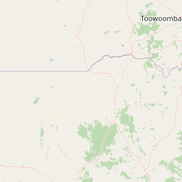
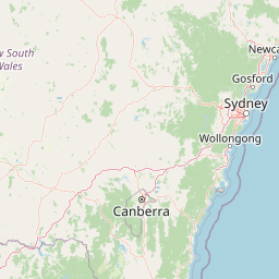
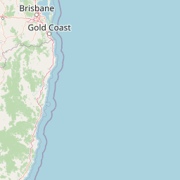
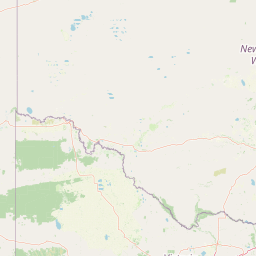
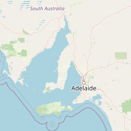
Distance Map Between Goulburn and Lismore
Goulburn, Sydney, Australia ↔ Lismore, Sydney, Australia = 460 miles = 741 km.


How far is it between Goulburn and Lismore
Goulburn is located in Australia with (-34.7516,149.7209) coordinates and Lismore is located in Australia with (-28.8135,153.2773) coordinates. The calculated flying distance from Goulburn to Lismore is equal to 460 miles which is equal to 741 km.
If you want to go by car, the driving distance between Goulburn and Lismore is 922.08 km. If you ride your car with an average speed of 112 kilometers/hour (70 miles/h), travel time will be 08 hours 13 minutes. Please check the avg. speed travel time table on the right for various options.
Difference between fly and go by a car is 181 km.
| City/Place | Latitude and Longitude | GPS Coordinates |
|---|---|---|
| Goulburn | -34.7516, 149.7209 | 34° 45´ 5.5800'' S 149° 43´ 15.0960'' E |
| Lismore | -28.8135, 153.2773 | 28° 48´ 48.7440'' S 153° 16´ 38.2800'' E |
Estimated Travel Time Between Goulburn and Lismore
| Average Speed | Travel Time |
|---|---|
| 30 mph (48 km/h) | 19 hours 12 minutes |
| 40 mph (64 km/h) | 14 hours 24 minutes |
| 50 mph (80 km/h) | 11 hours 31 minutes |
| 60 mph (97 km/h) | 09 hours 30 minutes |
| 70 mph (112 km/h) | 08 hours 13 minutes |
| 75 mph (120 km/h) | 07 hours 41 minutes |
Related Distances from Goulburn
| Cities | Distance |
|---|---|
| Goulburn to Orange 2 | 202 km |
| Goulburn to Nowra | 126 km |
| Goulburn to Wagga Wagga | 263 km |
| Goulburn to Griffith 2 | 377 km |
| Goulburn to Port Macquarie | 570 km |
Related Distances to Lismore
| Cities | Distance |
|---|---|
| Coffs Harbour to Lismore | 207 km |
| Armidale to Lismore | 322 km |
| Dubbo to Lismore | 767 km |
| Wollongong to Lismore | 844 km |
| Griffith 2 to Lismore | 1142 km |