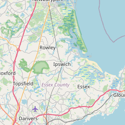
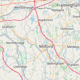
Distance from Grafton to Beverly
Distance between Grafton and Beverly is 77 kilometers (48 miles).
Driving distance from Grafton to Beverly is 104 kilometers (65 miles).
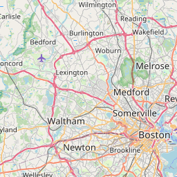
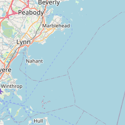
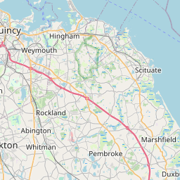
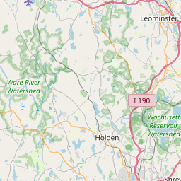
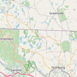
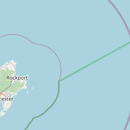
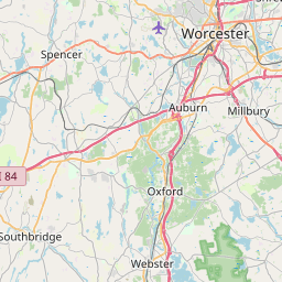
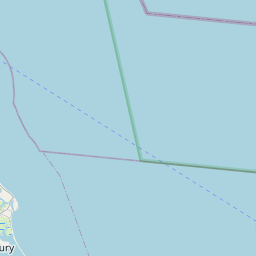
Distance Map Between Grafton and Beverly
Grafton, Boston, United States ↔ Beverly, Boston, United States = 48 miles = 77 km.

How far is it between Grafton and Beverly
Grafton is located in United States with (42.207,-71.6856) coordinates and Beverly is located in United States with (42.5584,-70.8801) coordinates. The calculated flying distance from Grafton to Beverly is equal to 48 miles which is equal to 77 km.
If you want to go by car, the driving distance between Grafton and Beverly is 104.38 km. If you ride your car with an average speed of 112 kilometers/hour (70 miles/h), travel time will be 00 hours 55 minutes. Please check the avg. speed travel time table on the right for various options.
Difference between fly and go by a car is 27 km.
| City/Place | Latitude and Longitude | GPS Coordinates |
|---|---|---|
| Grafton | 42.207, -71.6856 | 42° 12´ 25.3440'' N 71° 41´ 8.2320'' W |
| Beverly | 42.5584, -70.8801 | 42° 33´ 30.3480'' N 70° 52´ 48.1800'' W |
Estimated Travel Time Between Grafton and Beverly
| Average Speed | Travel Time |
|---|---|
| 30 mph (48 km/h) | 02 hours 10 minutes |
| 40 mph (64 km/h) | 01 hours 37 minutes |
| 50 mph (80 km/h) | 01 hours 18 minutes |
| 60 mph (97 km/h) | 01 hours 04 minutes |
| 70 mph (112 km/h) | 00 hours 55 minutes |
| 75 mph (120 km/h) | 00 hours 52 minutes |
Related Distances from Grafton
| Cities | Distance |
|---|---|
| Grafton to Burlington 5 | 74 km |
| Grafton to Gloucester 2 | 123 km |
| Grafton to Framingham | 38 km |
| Grafton to Chelmsford 2 | 64 km |
| Grafton to Chicopee | 87 km |
Related Distances to Beverly
| Cities | Distance |
|---|---|
| Los Angeles to Beverly Hills | 19 km |
| Santa Monica to Beverly Hills | 14 km |
| Hollywood to Beverly Hills | 8 km |
| San Francisco to Beverly Hills | 612 km |
| San Diego to Beverly Hills | 218 km |