Distance from Gresham to Beaverton
Distance between Gresham and Beaverton is 29 kilometers (18 miles).
Driving distance from Gresham to Beaverton is 42 kilometers (26 miles).
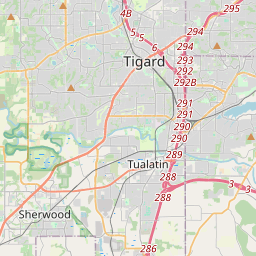
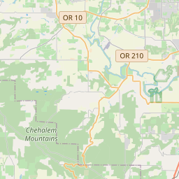
Distance Map Between Gresham and Beaverton
Gresham, Salem, United States ↔ Beaverton, Salem, United States = 18 miles = 29 km.


How far is it between Gresham and Beaverton
Gresham is located in United States with (45.4982,-122.4315) coordinates and Beaverton is located in United States with (45.4871,-122.8037) coordinates. The calculated flying distance from Gresham to Beaverton is equal to 18 miles which is equal to 29 km.
If you want to go by car, the driving distance between Gresham and Beaverton is 41.62 km. If you ride your car with an average speed of 112 kilometers/hour (70 miles/h), travel time will be 00 hours 22 minutes. Please check the avg. speed travel time table on the right for various options.
Difference between fly and go by a car is 13 km.
| City/Place | Latitude and Longitude | GPS Coordinates |
|---|---|---|
| Gresham | 45.4982, -122.4315 | 45° 29´ 53.4480'' N 122° 25´ 53.3280'' W |
| Beaverton | 45.4871, -122.8037 | 45° 29´ 13.4160'' N 122° 48´ 13.3560'' W |
Estimated Travel Time Between Gresham and Beaverton
| Average Speed | Travel Time |
|---|---|
| 30 mph (48 km/h) | 00 hours 52 minutes |
| 40 mph (64 km/h) | 00 hours 39 minutes |
| 50 mph (80 km/h) | 00 hours 31 minutes |
| 60 mph (97 km/h) | 00 hours 25 minutes |
| 70 mph (112 km/h) | 00 hours 22 minutes |
| 75 mph (120 km/h) | 00 hours 20 minutes |
Related Distances from Gresham
| Cities | Distance |
|---|---|
| Gresham to Bend | 234 km |
| Gresham to Canby | 42 km |
| Gresham to Ashland 4 | 479 km |
| Gresham to Eugene | 197 km |
| Gresham to Corvallis | 154 km |
Related Distances to Beaverton
| Cities | Distance |
|---|---|
| Portland to Beaverton | 14 km |
| Oregon City to Beaverton | 30 km |
| Lake Oswego to Beaverton | 16 km |
| Hillsboro to Beaverton | 28 km |
| Tualatin to Beaverton | 15 km |