Distance from Gresik to Kalianget
Distance between Gresik and Kalianget is 142 kilometers (88 miles).
Driving distance from Gresik to Kalianget is 194 kilometers (121 miles).
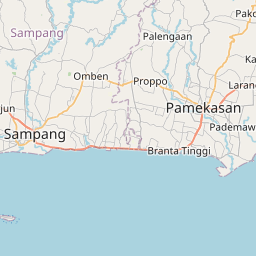
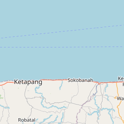
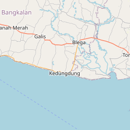
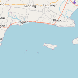
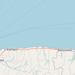
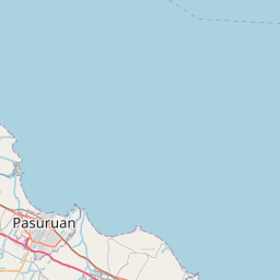
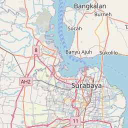
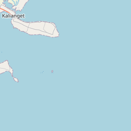
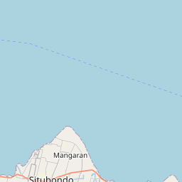
Distance Map Between Gresik and Kalianget
Gresik, Surabaya, Indonesia ↔ Kalianget, Surabaya, Indonesia = 88 miles = 142 km.


How far is it between Gresik and Kalianget
Gresik is located in Indonesia with (-7.1539,112.6561) coordinates and Kalianget is located in Indonesia with (-7.0537,113.9424) coordinates. The calculated flying distance from Gresik to Kalianget is equal to 88 miles which is equal to 142 km.
If you want to go by car, the driving distance between Gresik and Kalianget is 194.38 km. If you ride your car with an average speed of 112 kilometers/hour (70 miles/h), travel time will be 01 hours 44 minutes. Please check the avg. speed travel time table on the right for various options.
Difference between fly and go by a car is 52 km.
| City/Place | Latitude and Longitude | GPS Coordinates |
|---|---|---|
| Gresik | -7.1539, 112.6561 | 7° 9´ 14.0040'' S 112° 39´ 21.9960'' E |
| Kalianget | -7.0537, 113.9424 | 7° 3´ 13.3200'' S 113° 56´ 32.7840'' E |
Estimated Travel Time Between Gresik and Kalianget
| Average Speed | Travel Time |
|---|---|
| 30 mph (48 km/h) | 04 hours 02 minutes |
| 40 mph (64 km/h) | 03 hours 02 minutes |
| 50 mph (80 km/h) | 02 hours 25 minutes |
| 60 mph (97 km/h) | 02 hours 00 minutes |
| 70 mph (112 km/h) | 01 hours 44 minutes |
| 75 mph (120 km/h) | 01 hours 37 minutes |
Related Distances from Gresik
| Cities | Distance |
|---|---|
| Gresik to Paciran | 52 km |
| Gresik to Kertosono | 108 km |
| Gresik to Sidoarjo | 43 km |
| Gresik to Madiun | 178 km |
| Gresik to Nganjuk | 128 km |
Related Distances to Kalianget
| Cities | Distance |
|---|---|
| Bojonegoro to Kalianget | 284 km |
| Banyuwangi to Kalianget | 491 km |
| Bangkalan to Kalianget | 154 km |
| Jember to Kalianget | 375 km |
| Balung to Kalianget | 371 km |