Distance from Guara to Hortolandia
Distance between Guara and Hortolandia is 277 kilometers (172 miles).
Driving distance from Guara to Hortolandia is 297 kilometers (184 miles).
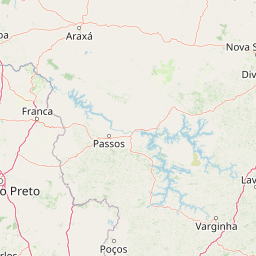
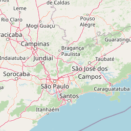
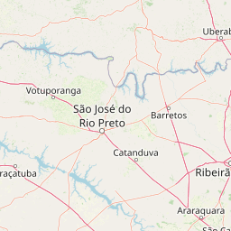
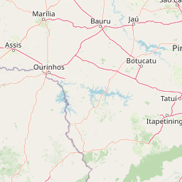
Distance Map Between Guara and Hortolandia
Guara, Sao Paulo, Brazil ↔ Hortolandia, Sao Paulo, Brazil = 172 miles = 277 km.


How far is it between Guará and Hortolândia
Guara is located in Brazil with (-20.4283,-47.8242) coordinates and Hortolandia is located in Brazil with (-22.8583,-47.22) coordinates. The calculated flying distance from Guara to Hortolandia is equal to 172 miles which is equal to 277 km.
If you want to go by car, the driving distance between Guara and Hortolandia is 296.51 km. If you ride your car with an average speed of 112 kilometers/hour (70 miles/h), travel time will be 02 hours 38 minutes. Please check the avg. speed travel time table on the right for various options.
Difference between fly and go by a car is 20 km.
| City/Place | Latitude and Longitude | GPS Coordinates |
|---|---|---|
| Guara | -20.4283, -47.8242 | 20° 25´ 41.9880'' S 47° 49´ 27.0120'' W |
| Hortolandia | -22.8583, -47.22 | 22° 51´ 29.9880'' S 47° 13´ 12.0000'' W |
Estimated Travel Time Between Guará and Hortolândia
| Average Speed | Travel Time |
|---|---|
| 30 mph (48 km/h) | 06 hours 10 minutes |
| 40 mph (64 km/h) | 04 hours 37 minutes |
| 50 mph (80 km/h) | 03 hours 42 minutes |
| 60 mph (97 km/h) | 03 hours 03 minutes |
| 70 mph (112 km/h) | 02 hours 38 minutes |
| 75 mph (120 km/h) | 02 hours 28 minutes |
Related Distances from Guara
| Cities | Distance |
|---|---|
| Guara to Hortolandia | 297 km |
| Guara to Itu | 357 km |
| Guara to Sao Vicente | 470 km |
| Guara to Praia Grande | 493 km |
| Guara to Taubate | 503 km |
Related Distances to Hortolandia
| Cities | Distance |
|---|---|
| Campinas to Hortolandia | 21 km |
| Guara to Hortolandia | 297 km |
| Dois Corregos to Hortolandia | 182 km |
| Aracatuba to Hortolandia | 444 km |
| Araraquara to Hortolandia | 170 km |