Distance from Guarulhos to Obera
Distance between Guarulhos and Obera is 971 kilometers (603 miles).
Driving distance from Guarulhos to Obera is 1254 kilometers (779 miles).
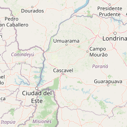
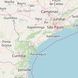
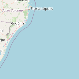
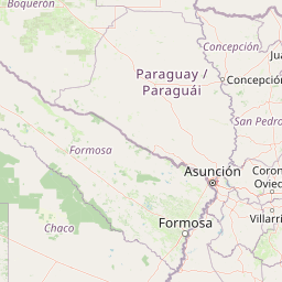
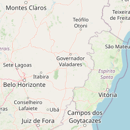
Distance Map Between Guarulhos and Obera
Guarulhos, Sao Paulo, Brazil ↔ Obera, Posadas, Argentina = 603 miles = 971 km.


How far is it between Guarulhos and Oberá
Guarulhos is located in Brazil with (-23.4628,-46.5333) coordinates and Obera is located in Argentina with (-27.4871,-55.1199) coordinates. The calculated flying distance from Guarulhos to Obera is equal to 603 miles which is equal to 971 km.
If you want to go by car, the driving distance between Guarulhos and Obera is 1253.88 km. If you ride your car with an average speed of 112 kilometers/hour (70 miles/h), travel time will be 11 hours 11 minutes. Please check the avg. speed travel time table on the right for various options.
Difference between fly and go by a car is 283 km.
| City/Place | Latitude and Longitude | GPS Coordinates |
|---|---|---|
| Guarulhos | -23.4628, -46.5333 | 23° 27´ 46.0080'' S 46° 31´ 59.9880'' W |
| Obera | -27.4871, -55.1199 | 27° 29´ 13.4160'' S 55° 7´ 11.7840'' W |
Estimated Travel Time Between Guarulhos and Oberá
| Average Speed | Travel Time |
|---|---|
| 30 mph (48 km/h) | 26 hours 07 minutes |
| 40 mph (64 km/h) | 19 hours 35 minutes |
| 50 mph (80 km/h) | 15 hours 40 minutes |
| 60 mph (97 km/h) | 12 hours 55 minutes |
| 70 mph (112 km/h) | 11 hours 11 minutes |
| 75 mph (120 km/h) | 10 hours 26 minutes |
Related Distances from Guarulhos
| Cities | Distance |
|---|---|
| Guarulhos to Victoria 4 | 2103 km |
| Guarulhos to Olavarria | 2572 km |
| Guarulhos to Cordoba | 2375 km |
| Guarulhos to Rosario | 2195 km |
| Guarulhos to San Miguel De Tucuman | 2479 km |
Related Distances to Obera
| Cities | Distance |
|---|---|
| Salvador to Obera | 3066 km |
| Nova Iguacu to Obera | 1630 km |
| Porto Alegre to Obera | 595 km |
| Belo Horizonte to Obera | 1751 km |
| Iacu to Obera | 2796 km |