Distance from Guarulhos to Rafaela
Distance between Guarulhos and Rafaela is 1709 kilometers (1062 miles).
Driving distance from Guarulhos to Rafaela is 2124 kilometers (1320 miles).
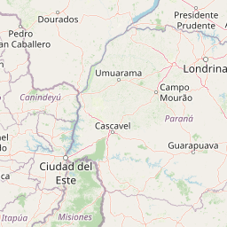
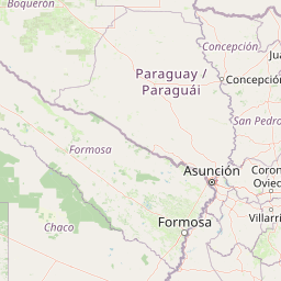
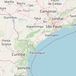
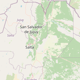
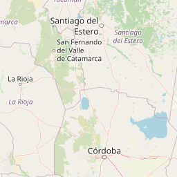
Distance Map Between Guarulhos and Rafaela
Guarulhos, Sao Paulo, Brazil ↔ Rafaela, Santa Fe de la Vera Cruz, Argentina = 1062 miles = 1709 km.


How far is it between Guarulhos and Rafaela
Guarulhos is located in Brazil with (-23.4628,-46.5333) coordinates and Rafaela is located in Argentina with (-31.2503,-61.4867) coordinates. The calculated flying distance from Guarulhos to Rafaela is equal to 1062 miles which is equal to 1709 km.
If you want to go by car, the driving distance between Guarulhos and Rafaela is 2124.01 km. If you ride your car with an average speed of 112 kilometers/hour (70 miles/h), travel time will be 18 hours 57 minutes. Please check the avg. speed travel time table on the right for various options.
Difference between fly and go by a car is 415 km.
| City/Place | Latitude and Longitude | GPS Coordinates |
|---|---|---|
| Guarulhos | -23.4628, -46.5333 | 23° 27´ 46.0080'' S 46° 31´ 59.9880'' W |
| Rafaela | -31.2503, -61.4867 | 31° 15´ 1.1880'' S 61° 29´ 12.1200'' W |
Estimated Travel Time Between Guarulhos and Rafaela
| Average Speed | Travel Time |
|---|---|
| 30 mph (48 km/h) | 44 hours 15 minutes |
| 40 mph (64 km/h) | 33 hours 11 minutes |
| 50 mph (80 km/h) | 26 hours 33 minutes |
| 60 mph (97 km/h) | 21 hours 53 minutes |
| 70 mph (112 km/h) | 18 hours 57 minutes |
| 75 mph (120 km/h) | 17 hours 42 minutes |
Related Distances from Guarulhos
| Cities | Distance |
|---|---|
| Guarulhos to Victoria 4 | 2103 km |
| Guarulhos to Olavarria | 2572 km |
| Guarulhos to Cordoba | 2375 km |
| Guarulhos to Rosario | 2195 km |
| Guarulhos to San Miguel De Tucuman | 2479 km |
Related Distances to Rafaela
| Cities | Distance |
|---|---|
| Santo Andre to Rafaela | 2140 km |
| Sao Paulo to Rafaela | 2106 km |
| Rio De Janeiro to Rafaela | 2549 km |
| Curitiba to Rafaela | 1674 km |
| Sao Bernardo Do Campo to Rafaela | 2144 km |