Distance from Guatire to Macapa
Distance between Guatire and Macapa is 2068 kilometers (1285 miles).
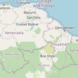
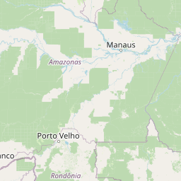
Distance Map Between Guatire and Macapa
Guatire, Los Teques, Venezuela ↔ Macapa, Brazil = 1285 miles = 2068 km.


Leaflet | © OpenStreetMap
How far is it between Guatire and Macapá
Guatire is located in Venezuela with (10.4762,-66.5427) coordinates and Macapa is located in Brazil with (0.0389,-51.0664) coordinates. The calculated flying distance from Guatire to Macapa is equal to 1285 miles which is equal to 2068 km.
| City/Place | Latitude and Longitude | GPS Coordinates |
|---|---|---|
| Guatire | 10.4762, -66.5427 | 10° 28´ 34.3200'' N 66° 32´ 33.5760'' W |
| Macapa | 0.0389, -51.0664 | 0° 2´ 20.0040'' N 51° 3´ 59.0040'' W |
Guatire, Los Teques, Venezuela
Related Distances from Guatire
| Cities | Distance |
|---|---|
| Guatire to Belem | 5272 km |
| Guatire to Mocajuba | 5030 km |
| Guatire to Sao Miguel Do Guama | 5302 km |
| Guatire to Abaetetuba | 5171 km |
| Guatire to Moju | 5142 km |