Distance from Gubakha to Aqtobe
Distance between Gubakha and Aqtobe is 952 kilometers (591 miles).
Driving distance from Gubakha to Aqtobe is 1249 kilometers (776 miles).
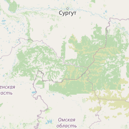
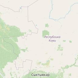
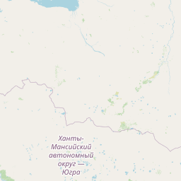
Distance Map Between Gubakha and Aqtobe
Gubakha, Perm, Russia ↔ Aqtobe, Kazakhstan = 591 miles = 952 km.


How far is it between Gubakha and Aqtöbe
Gubakha is located in Russia with (58.8386,57.5533) coordinates and Aqtobe is located in Kazakhstan with (50.2797,57.2072) coordinates. The calculated flying distance from Gubakha to Aqtobe is equal to 591 miles which is equal to 952 km.
If you want to go by car, the driving distance between Gubakha and Aqtobe is 1248.67 km. If you ride your car with an average speed of 112 kilometers/hour (70 miles/h), travel time will be 11 hours 08 minutes. Please check the avg. speed travel time table on the right for various options.
Difference between fly and go by a car is 297 km.
| City/Place | Latitude and Longitude | GPS Coordinates |
|---|---|---|
| Gubakha | 58.8386, 57.5533 | 58° 50´ 19.0320'' N 57° 33´ 11.7000'' E |
| Aqtobe | 50.2797, 57.2072 | 50° 16´ 46.8840'' N 57° 12´ 25.8480'' E |
Estimated Travel Time Between Gubakha and Aqtöbe
| Average Speed | Travel Time |
|---|---|
| 30 mph (48 km/h) | 26 hours 00 minutes |
| 40 mph (64 km/h) | 19 hours 30 minutes |
| 50 mph (80 km/h) | 15 hours 36 minutes |
| 60 mph (97 km/h) | 12 hours 52 minutes |
| 70 mph (112 km/h) | 11 hours 08 minutes |
| 75 mph (120 km/h) | 10 hours 24 minutes |
Related Distances from Gubakha
| Cities | Distance |
|---|---|
| Gubakha to Astana | 1537 km |
| Gubakha to Petropavlovsk | 1030 km |
| Gubakha to Kyzylorda | 2169 km |
| Gubakha to Oral | 1199 km |
| Gubakha to Atyrau | 1683 km |
Related Distances to Aqtobe
| Cities | Distance |
|---|---|
| Yekaterinburg to Aqtobe | 956 km |
| Asbest to Aqtobe | 1005 km |
| Tyumen to Aqtobe | 1171 km |
| Ufa to Aqtobe | 647 km |
| Omsk to Aqtobe | 1503 km |