Distance from Gumaca to Lipa City
Distance between Gumaca and Lipa City is 101 kilometers (63 miles).
Driving distance from Gumaca to Lipa City is 126 kilometers (79 miles).
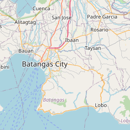
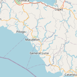
Distance Map Between Gumaca and Lipa City
Gumaca, Calamba, Philippines ↔ Lipa City, Calamba, Philippines = 63 miles = 101 km.


How far is it between Gumaca and Lipa City
Gumaca is located in Philippines with (13.921,122.1002) coordinates and Lipa City is located in Philippines with (13.9411,121.1631) coordinates. The calculated flying distance from Gumaca to Lipa City is equal to 63 miles which is equal to 101 km.
If you want to go by car, the driving distance between Gumaca and Lipa City is 126.47 km. If you ride your car with an average speed of 112 kilometers/hour (70 miles/h), travel time will be 01 hours 07 minutes. Please check the avg. speed travel time table on the right for various options.
Difference between fly and go by a car is 25 km.
| City/Place | Latitude and Longitude | GPS Coordinates |
|---|---|---|
| Gumaca | 13.921, 122.1002 | 13° 55´ 15.6000'' N 122° 6´ 0.7200'' E |
| Lipa City | 13.9411, 121.1631 | 13° 56´ 27.9600'' N 121° 9´ 47.1600'' E |
Estimated Travel Time Between Gumaca and Lipa City
| Average Speed | Travel Time |
|---|---|
| 30 mph (48 km/h) | 02 hours 38 minutes |
| 40 mph (64 km/h) | 01 hours 58 minutes |
| 50 mph (80 km/h) | 01 hours 34 minutes |
| 60 mph (97 km/h) | 01 hours 18 minutes |
| 70 mph (112 km/h) | 01 hours 07 minutes |
| 75 mph (120 km/h) | 01 hours 03 minutes |
Related Distances from Gumaca
| Cities | Distance |
|---|---|
| Gumaca to Lucena | 64 km |
| Gumaca to Lopez | 20 km |
| Gumaca to Pagbilao | 54 km |
| Gumaca to Lucban | 79 km |
| Gumaca to Tayabas | 66 km |
Related Distances to Lipa City
| Cities | Distance |
|---|---|
| Batangas to Lipa City | 31 km |
| Cuenca 3 to Lipa City | 17 km |
| Calaca to Lipa City | 45 km |
| Bauan to Lipa City | 28 km |
| Balayan to Lipa City | 55 km |